

-
Sale!

IMRAY 2000 SUFFOLK & ESSEX COASTS CHART PACK
Original price was: £59.95.£53.95Current price is: £53.95. Add to basket
by Imray -
Sale!

IMRAY 2100 KENT AND SUSSEX COASTS CHART PACK
Original price was: £59.95.£53.95Current price is: £53.95. Add to basket
by Imray -
Sale!
IMRAY 2110 NORTH FRANCE CHART PACK
Original price was: £59.95.£53.95Current price is: £53.95. Add to basket
by Imray -
Sale!
IMRAY 2200 DURABLE SOLENT CHART PACK
Original price was: £139.95.£124.99Current price is: £124.99. Add to basket
by Imray -
Sale!
IMRAY 2200 THE SOLENT CHART PACK
Original price was: £59.95.£53.95Current price is: £53.95. Add to basket
by Imray -
Sale!
IMRAY 2300 DORSET AND DEVON COASTS CHART PACK
Original price was: £59.95.£53.95Current price is: £53.95. Add to basket
by Imray -
Sale!
IMRAY 2400 WEST COUNTRY CHART PACK
Original price was: £59.95.£54.95Current price is: £54.95. Add to basket
by Imray -
Sale!
IMRAY 2500 THE CHANNEL ISLANDS AND ADJACENT COAST OF FRANCE CHART PACK
Original price was: £59.95.£53.95Current price is: £53.95. Add to basket
by Imray -
Sale!
IMRAY 2510 NORTH BRITTANY CHART PACK
Original price was: £59.95.£53.95Current price is: £53.95. Add to basket
by Imray -
Sale!
IMRAY 2600 BRISTOL CHANNEL CHART PACK
Original price was: £59.95.£53.95Current price is: £53.95. Add to basket
by Imray -
Sale!
IMRAY 2700 NORTH AND WEST WALES CHART PACK
Original price was: £59.95.£53.95Current price is: £53.95. Add to basket
by Imray -
Sale!
IMRAY 2800 KINTYRE TO ARDNAMURCHAN CHARTY PACK
Original price was: £59.95.£53.95Current price is: £53.95. Add to basket
by Imray -
Sale!
IMRAY 3200 ISLAS BALEARES CHART PACK
Original price was: £59.95.£53.95Current price is: £53.95. Add to basket
by Imray -
Sale!
IMRAY 3210 GIBRALTAR TO CABO DE LA NAO CHART PACK
Original price was: £59.95.£53.95Current price is: £53.95. Add to basket
by Imray -
Sale!
IMRAY 3220 CABO DE LA NAO TO THE FRENCH BORDER CHART PACK
Original price was: £59.95.£53.95Current price is: £53.95. Add to basket
by Imray -
Sale!
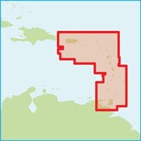
Imray Chart 1 EASTERN CARIBBEAN
Original price was: £23.95.£21.56Current price is: £21.56. Add to basket -
Sale!
Imray Chart 100 NORTH ATLANTIC OCEAN PASSAGE CHART
Original price was: £27.95.£25.16Current price is: £25.16. Add to basket -
Sale!
Imray Chart A Puerto Rico to Martinique
Original price was: £23.95.£21.56Current price is: £21.56. Add to basket -
Sale!
Imray Chart A1 Puerto Rico
Original price was: £23.95.£21.56Current price is: £21.56. Add to basket -
Sale!
Imray Chart A11 Bahia de Guanica to Punta Borinquen
Original price was: £23.95.£21.56Current price is: £21.56. Add to basket -
Sale!
Imray Chart A12 Punta Figuras to Bahia de Guanica
Original price was: £23.95.£21.56Current price is: £21.56. Add to basket -
Sale!
Imray Chart A13 Cabo San Juan to Culebra Is and Punta Figuras
Original price was: £23.95.£21.56Current price is: £21.56. Add to basket -
Sale!
Imray Chart A131 Isla de Culebra and Isla de Vieques
Original price was: £23.95.£21.56Current price is: £21.56. Add to basket -
Sale!
Imray Chart A14 San Juan to Isla de Vieques and Isla de Culebra
Original price was: £23.95.£21.56Current price is: £21.56. Add to basket -
Sale!
Imray Chart A141 Cabo San Juan to Ensenada Honda and Isla de Vieques
Original price was: £23.95.£21.56Current price is: £21.56. Add to basket -
Sale!
Imray Chart A2 Puerto Rico to the Virgin and Leeward Islands
Original price was: £23.95.£21.56Current price is: £21.56. Add to basket -
Sale!
Imray Chart A23 Virgin Islands and St Croix
Original price was: £23.95.£21.56Current price is: £21.56. Add to basket -
Sale!
Imray Chart A231 St Thomas to Virgin Gorda
Original price was: £23.95.£21.56Current price is: £21.56. Add to basket -
Sale!
Imray Chart A232 Tortola to Anegada
Original price was: £23.95.£21.56Current price is: £21.56. Add to basket -
Sale!
Imray Chart A233 Virgin Islands
Original price was: £32.95.£29.65Current price is: £29.65. Add to basket -
Sale!
Imray Chart A234 Northeast Coast of St Croix
Original price was: £23.95.£21.56Current price is: £21.56. Add to basket -
Sale!
Imray Chart A24 Anguilla, St Martin and St Barthélémy
Original price was: £23.95.£21.56Current price is: £21.56. Add to basket -
Sale!
Imray Chart A25 St Eustatius, St Christopher, Nevis, Monserrat and Saba
Original price was: £23.95.£21.56Current price is: £21.56. Add to basket -
Sale!
Imray Chart A26 Barbuda
Original price was: £23.95.£21.56Current price is: £21.56. Add to basket -
Sale!
Imray Chart A27 Antigua
Original price was: £23.95.£21.56Current price is: £21.56. Add to basket -
Sale!
Imray Chart A271 North Coast of Antigua
Original price was: £23.95.£21.56Current price is: £21.56. Add to basket -
Sale!
Imray Chart A28 Guadeloupe
Original price was: £23.95.£21.56Current price is: £21.56. Add to basket -
Sale!
Imray Chart A281 Anchorages in Guadeloupe, Les Saintes and Marie-Galante
Original price was: £23.95.£21.56Current price is: £21.56. Add to basket -
Sale!
Imray Chart A29 Dominica
Original price was: £23.95.£21.56Current price is: £21.56. Add to basket -
Sale!
Imray Chart A3 Anguilla to Dominica Passage Chart
Original price was: £23.95.£21.56Current price is: £21.56. Add to basket -
Sale!
Imray Chart A30 Martinique
Original price was: £23.95.£21.56Current price is: £21.56. Add to basket -
Sale!
Imray Chart A301 Martinique- South and East Coasts
Original price was: £23.95.£21.56Current price is: £21.56. Add to basket -
Sale!
Imray Chart A4 Guadeloupe to St Lucia Passage Chart
Original price was: £23.95.£21.56Current price is: £21.56. Add to basket -
Sale!
Imray Chart B Martinique to Trinidad Passage Chart
Original price was: £23.95.£21.56Current price is: £21.56. Add to basket -
Sale!
Imray Chart B2 Barbados
Original price was: £23.95.£21.56Current price is: £21.56. Add to basket -
Sale!
Imray Chart B3 The Grenadines
Original price was: £23.95.£21.56Current price is: £21.56. Add to basket -
Sale!
Imray Chart B4 Tobago
Original price was: £23.95.£21.56Current price is: £21.56. Add to basket -
Sale!
Imray Chart B5 Martinique to Tobago and Barbados Passage Chart
Original price was: £23.95.£21.56Current price is: £21.56. Add to basket -
Sale!
Imray Chart B6 Grenada to Tobago and Trinidad
Original price was: £23.95.£21.56Current price is: £21.56. Add to basket -
Sale!
Imray Chart C1: Thames Estuary
Original price was: £25.95.£23.36Current price is: £23.36. Add to basket -
Sale!
Imray Chart C1: Thames Estuary
Original price was: £25.95.£23.36Current price is: £23.36. Add to basket -
Sale!
Imray Chart C10 Western English Channel Passage Chart
Original price was: £25.95.£23.36Current price is: £23.36. Add to basket -
Sale!
Imray Chart C10: Western English Channel Passage Chart
Original price was: £25.95.£23.36Current price is: £23.36. Add to basket -
Sale!
Imray Chart C12: Eastern English Channel Passage Chart
Original price was: £25.95.£23.36Current price is: £23.36. Add to basket -
Sale!
Imray Chart C14 Plymouth Harbour and Rivers
Original price was: £25.95.£23.36Current price is: £23.36. Add to basket -
Sale!
Imray Chart C14: Plymouth Harbours and Rivers
Original price was: £25.95.£23.36Current price is: £23.36. Add to basket -
Sale!
Imray Chart C15 The Solent
Original price was: £25.95.£23.36Current price is: £23.36. Add to basket -
Sale!
Imray Chart C15: The Solent
Original price was: £25.95.£23.36Current price is: £23.36. Add to basket -
Sale!
Imray Chart C18 Western Approaches to the English Channel & Bay of Biscay
Original price was: £25.95.£23.36Current price is: £23.36. Add to basket -
Sale!
Imray Chart C19 A Coruña to Gibraltar
Original price was: £25.95.£23.36Current price is: £23.36. Add to basket -
Sale!
Imray Chart C2 The River Thames
Original price was: £25.95.£23.36Current price is: £23.36. Add to basket -
Sale!
Imray Chart C20 Strait of Gibraltar to Archipélago dos Açores & Islas Canarias Passage Chart
Original price was: £25.95.£23.36Current price is: £23.36. Add to basket -
Sale!
Imray Chart C23 Fife Ness to Duncansby Head
Original price was: £25.95.£23.36Current price is: £23.36. Add to basket -
Sale!
Imray Chart C24 Flamborough Head to Fife Ness
Original price was: £25.95.£23.36Current price is: £23.36. Add to basket -
Sale!
Imray Chart C25 Harwich to River Humber and Holland
Original price was: £25.95.£23.36Current price is: £23.36. Add to basket -
Sale!
Imray Chart C26 IJmuiden to Die Elbe
Original price was: £25.95.£23.36Current price is: £23.36. Add to basket -
Sale!
Imray Chart C27 Firth of Forth
Original price was: £25.95.£23.36Current price is: £23.36. Add to basket -
Sale!
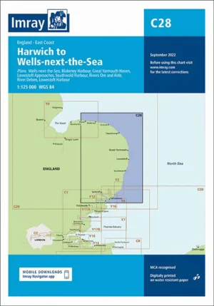
Imray Chart C28 Harwich to Wells-next-the-Sea
Original price was: £25.95.£23.36Current price is: £23.36. Add to basket -
Sale!
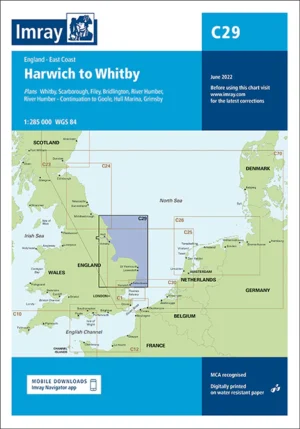
Imray Chart C29 Harwich to Whitby
Original price was: £25.95.£23.36Current price is: £23.36. Add to basket -
Sale!
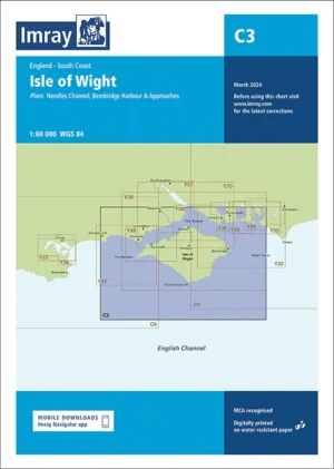
Imray Chart C3 Isle of Wight
Original price was: £25.95.£23.36Current price is: £23.36. Add to basket -
Sale!
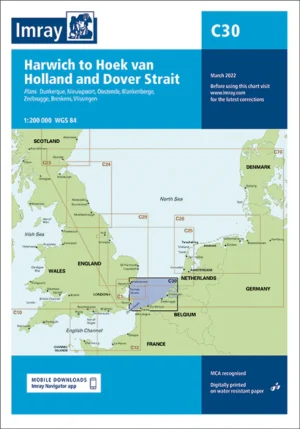
Imray Chart C30 Harwich to Hoek van Holland and Dover Strait
Original price was: £25.95.£23.36Current price is: £23.36. Add to basket -
Sale!
Imray Chart C31 Dover Strait to Le Havre
Original price was: £25.95.£23.36Current price is: £23.36. Add to basket -
Sale!
Imray Chart C32 Baie de Seine
Original price was: £25.95.£23.36Current price is: £23.36. Add to basket -
Sale!
Imray Chart C33A Channel Islands (North)
Original price was: £25.95.£23.36Current price is: £23.36. Add to basket -
Sale!
Imray Chart C33B Channel Islands (South)
Original price was: £25.95.£23.36Current price is: £23.36. Add to basket -
Sale!
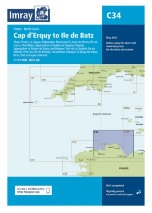
Imray Chart C34 Cap d’Erquy to Ile de Batz
Original price was: £25.95.£23.36Current price is: £23.36. Add to basket -
Sale!
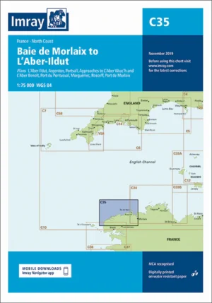
Imray Chart C35 Baie de Morlaix to L’Aber-Ildut
Original price was: £25.95.£23.36Current price is: £23.36. Add to basket -
Sale!
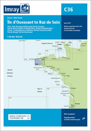
Imray Chart C36 Île d’Ouessant to Raz de Seine
Original price was: £25.95.£23.36Current price is: £23.36. Add to basket -
Sale!
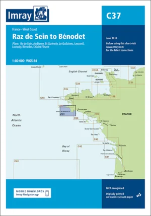
Imray Chart C37 Raz de Sein to Benodet
Original price was: £25.95.£23.36Current price is: £23.36. Add to basket -
Sale!
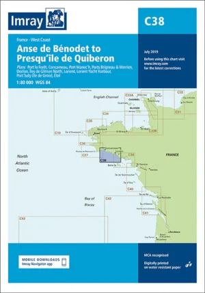
Imray Chart C38 Anse de Bénodet to Presqu’île de Quiberon
Original price was: £25.95.£23.36Current price is: £23.36. Add to basket -
Sale!
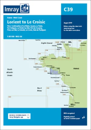
Imray Chart C39 Lorient to Le Croisic
Original price was: £25.95.£23.36Current price is: £23.36. Add to basket -
Sale!
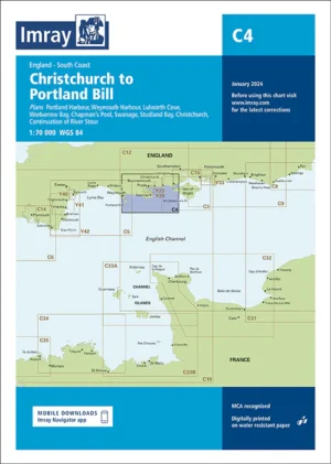
Imray Chart C4 Christchurch to Portland Bill
Original price was: £25.95.£23.36Current price is: £23.36. Add to basket -
Sale!
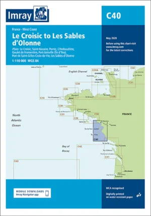
Imray Chart C40 Le Croisic to Les Sables d’Olonne
Original price was: £25.95.£23.36Current price is: £23.36. Add to basket -
Sale!
Imray Chart C41 Les Sables d’Olonne to La Gironde
Original price was: £25.95.£23.36Current price is: £23.36. Add to basket -
Sale!
Imray Chart C42 La Rochelle to Santander
Original price was: £25.95.£23.36Current price is: £23.36. Add to basket -
Sale!
Imray Chart C43 Santander to A Coruña
Original price was: £25.95.£23.36Current price is: £23.36. Add to basket -
Sale!
Imray Chart C48 A Coruña to Porto
Original price was: £25.95.£23.36Current price is: £23.36. Add to basket -
Sale!
Imray Chart C49 Ria de Aveiro to Sines
Original price was: £25.95.£23.36Current price is: £23.36. Add to basket -
Sale!
Imray Chart C5 Portland Bill to Salcombe Harbour
Original price was: £25.95.£23.36Current price is: £23.36. Add to basket -
Sale!
Imray Chart C50 Sines to Gibraltar
Original price was: £25.95.£23.36Current price is: £23.36. Add to basket -
Sale!
Imray Chart C51 Cardigan Bay
Original price was: £25.95.£23.36Current price is: £23.36. Add to basket -
Sale!
Imray Chart C52 Cardigan Bay to Liverpool
Original price was: £25.95.£23.36Current price is: £23.36. Add to basket -
Sale!
Imray Chart C53 Donegal Bay to Rathlin Island
Original price was: £25.95.£23.36Current price is: £23.36. Add to basket -
Sale!
Imray Chart C54 Galway Bay to Donegal Bay
Original price was: £25.95.£23.36Current price is: £23.36. Add to basket -
Sale!
Imray Chart C55 Dingle Bay to Galway Bay
Original price was: £25.95.£23.36Current price is: £23.36. Add to basket -
Sale!
Imray Chart C56 Cork Harbour to Dingle Bay
Original price was: £25.95.£23.36Current price is: £23.36. Add to basket -
Sale!
Imray Chart C57 Tuskar Rock to Old Head of Kinsale
Original price was: £25.95.£23.36Current price is: £23.36. Add to basket -
Sale!
Imray Chart C58 Trevose Head to Bull Point
Original price was: £25.95.£23.36Current price is: £23.36. Add to basket -
Sale!
Imray Chart C59 Bristol Channel
Original price was: £25.95.£23.36Current price is: £23.36. Add to basket -
Sale!
Imray Chart C6 Salcombe to Lizard Point
Original price was: £25.95.£23.36Current price is: £23.36. Add to basket -
Sale!
Imray Chart C60 Gower Peninsula to Cardigan
Original price was: £25.95.£23.36Current price is: £23.36. Add to basket -
Sale!
Imray Chart C61 St George’s Channel
Original price was: £25.95.£23.36Current price is: £23.36. Add to basket -
Sale!
Imray Chart C62 Irish Sea
Original price was: £25.95.£23.36Current price is: £23.36. Add to basket -
Sale!
Imray Chart C63 Firth of Clyde
Original price was: £25.95.£23.36Current price is: £23.36. Add to basket -
Sale!
Imray Chart C64 North Channel
Original price was: £25.95.£23.36Current price is: £23.36. Add to basket -
Sale!
Imray Chart C65 Crinan to Mallaig and Barra
Original price was: £25.95.£23.36Current price is: £23.36. Add to basket -
Sale!
Imray Chart C66 Mallaig to Rudha Reidh and Outer Hebrides
Original price was: £25.95.£23.36Current price is: £23.36. Add to basket -
Sale!
Imray Chart C67 North Minch and Isle of Lewis
Original price was: £25.95.£23.36Current price is: £23.36. Add to basket -
Sale!
Imray Chart C68 Cape Wrath to Wick and the Orkney Islands
Original price was: £25.95.£23.36Current price is: £23.36. Add to basket -
Sale!
Imray Chart C69 Loch Ryan to Belfast Lough and Strangford Lough
Original price was: £25.95.£23.36Current price is: £23.36. Add to basket -
Sale!
Imray Chart C7 Falmouth to Isles of Scilly and Trevose Head
Original price was: £25.95.£23.36Current price is: £23.36. Add to basket -
Sale!
Imray Chart C70 Southern North Sea Passage Chart
Original price was: £25.95.£23.36Current price is: £23.36. Add to basket -
Sale!
Imray Chart C8 Dover Strait
Original price was: £25.95.£23.36Current price is: £23.36. Add to basket -
Sale!
Imray Chart C9 Beachy Head to Isle of Wight
Original price was: £25.95.£23.36Current price is: £23.36. Add to basket -
Sale!
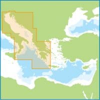
Imray Chart D Venezuela
Original price was: £25.95.£23.36Current price is: £23.36. Add to basket -
Sale!
Imray Chart D1 Port of Spain to Cabo Codera
Original price was: £25.95.£23.36Current price is: £23.36. Add to basket -
Sale!
Imray Chart D10 North Coast of Trinidad and Golfo de Paria
Original price was: £25.95.£23.36Current price is: £23.36. Add to basket -
Sale!
Imray Chart D11 Trinidad to Carupano
Original price was: £25.95.£23.36Current price is: £23.36. Add to basket -
Sale!
Imray Chart D12 Carupano to Cumana and Isla de Margarita
Original price was: £25.95.£23.36Current price is: £23.36. Add to basket -
Sale!
Imray Chart D13 Isla de Margarita to Carenero
Original price was: £25.95.£23.36Current price is: £23.36. Add to basket -
Sale!
Imray Chart D131 Puerto Mochima to Bahia de Barcelona
Original price was: £25.95.£23.36Current price is: £23.36. Add to basket -
Sale!
Imray Chart D14 Islas los Testigos, Isla la Tortuga, la Blanquilla
Original price was: £25.95.£23.36Current price is: £23.36. Add to basket -
Sale!
Imray Chart D2 Cabo Codera to Cabo San Roman
Original price was: £25.95.£23.36Current price is: £23.36. Add to basket -
Sale!
Imray Chart D21 Carenero to Punta San Jan
Original price was: £25.95.£23.36Current price is: £23.36. Add to basket -
Sale!
Imray Chart D22 Isla los Roques and Isla de Aves
Original price was: £25.95.£23.36Current price is: £23.36. Add to basket -
Sale!
Imray Chart D23 Punta Aguide to Cabo San Roman and the A, B, C Islands
Original price was: £25.95.£23.36Current price is: £23.36. Add to basket -
Sale!
Imray Chart D231 Bonaire and Aruba
Original price was: £25.95.£23.36Current price is: £23.36. Add to basket -
Sale!
Imray Chart D232 Curaçao
Original price was: £25.95.£23.36Current price is: £23.36. Add to basket -
Sale!
Imray Chart E1 Arquipelago dos Açores
Original price was: £25.95.£23.36Current price is: £23.36. Add to basket -
Sale!
Imray Chart E2 Islas Canarias
Original price was: £25.95.£23.36Current price is: £23.36. Add to basket -
Sale!
Imray Chart E3 Arquipélago da Madeira
Original price was: £25.95.£23.36Current price is: £23.36. Add to basket -
Sale!
Imray Chart E4 Arquipélago de Cabo Verde
Original price was: £25.95.£23.36Current price is: £23.36. Add to basket -
Sale!
Imray Chart E5 Bermuda
Original price was: £25.95.£23.36Current price is: £23.36. Add to basket -
Sale!
Imray Chart G1 Mainland Greece and the Peloponnisos
Original price was: £23.95.£21.56Current price is: £21.56. Add to basket -
Sale!
Imray Chart G11 North Ionian Islands
Original price was: £23.95.£21.56Current price is: £21.56. Add to basket -
Sale!
Imray Chart G12 South Ionian Islands
Original price was: £23.95.£21.56Current price is: £21.56. Add to basket -
Sale!
Imray Chart G121 The Inland Sea
Original price was: £23.95.£21.56Current price is: £21.56. Add to basket -
Sale!
Imray Chart G13 Gulfs of Patras and Corinth
Original price was: £23.95.£21.56Current price is: £21.56. Add to basket -
Sale!
Imray Chart G14 Saronic and Argolic Gulfs
Original price was: £23.95.£21.56Current price is: £21.56. Add to basket -
Sale!
Imray Chart G141 Saronikós Kólpos
Original price was: £23.95.£21.56Current price is: £21.56. Add to basket -
Sale!
Imray Chart G15 Southern Pelopónnisos
Original price was: £23.95.£21.56Current price is: £21.56. Add to basket -
Sale!
Imray Chart G16 Western Pelopónnisos
Original price was: £23.95.£21.56Current price is: £21.56. Add to basket -
Sale!
Imray Chart G2 Aegean Sea (North)
Original price was: £23.95.£21.56Current price is: £21.56. Add to basket -
Sale!
Imray Chart G21 Northwest Aegean Sea
Original price was: £23.95.£21.56Current price is: £21.56. Add to basket -
Sale!
Imray Chart G22 Northeast Aegean Sea
Original price was: £23.95.£21.56Current price is: £21.56. Add to basket -
Sale!
Imray Chart G23 Marmara Denizi
Original price was: £23.95.£21.56Current price is: £21.56. Add to basket -
Sale!
Imray Chart G25 Northern Sporades and North Évvoia
Original price was: £23.95.£21.56Current price is: £21.56. Add to basket -
Sale!
Imray Chart G26 Nisos Evvola
Original price was: £23.95.£21.56Current price is: £21.56. Add to basket -
Sale!
Imray Chart G27 Nísos Lésvos & the Coast of Turkey
Original price was: £23.95.£21.56Current price is: £21.56. Add to basket -
Sale!
Imray Chart G28 Nísos Khíos & the Coast of Turkey
Original price was: £23.95.£21.56Current price is: £21.56. Add to basket -
Sale!
Imray Chart G3 Aegean Sea (South)
Original price was: £23.95.£21.56Current price is: £21.56. Add to basket -
Sale!
Imray Chart G31 Northern Cyclades
Original price was: £23.95.£21.56Current price is: £21.56. Add to basket -
Sale!
Imray Chart G32 Eastern Sporades, Dodecanese & the Coast of Turkey
Original price was: £23.95.£21.56Current price is: £21.56. Add to basket -
Sale!
Imray Chart G33 Southern Cyclades (West Sheet)
Original price was: £23.95.£21.56Current price is: £21.56. Add to basket -
Sale!
Imray Chart G34 Southern Cyclades (East Sheet)
Original price was: £23.95.£21.56Current price is: £21.56. Add to basket -
Sale!
Imray Chart G35 Dodecanese and the Coast of Turkey
Original price was: £23.95.£21.56Current price is: £21.56. Add to basket -
Sale!
Imray Chart G36 Turkey – South Coast
Original price was: £23.95.£21.56Current price is: £21.56. Add to basket -
Sale!
Imray Chart G37 Nísos Kríti (West)
Original price was: £23.95.£21.56Current price is: £21.56. Add to basket -
Sale!
Imray Chart G38 Nísos Kríti (East)
Original price was: £23.95.£21.56Current price is: £21.56. Add to basket -
Sale!
Imray Chart G39 Nísos Kárpathos to Nísos Ródhos
Original price was: £23.95.£21.56Current price is: £21.56. Add to basket -
Sale!
Imray Chart G40 Kas to Antalya
Original price was: £23.95.£21.56Current price is: £21.56. Add to basket -
Sale!
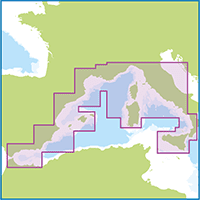
Imray Chart M10 Western Mediterranean
Original price was: £23.95.£21.56Current price is: £21.56. Add to basket -
Sale!
Imray Chart M11 Gibraltar to Cabo de Gata and Morocco
Original price was: £23.95.£21.56Current price is: £21.56. Add to basket -
Sale!
Imray Chart M12 Cabo de Gata to Dénia and Ibiza
Original price was: £23.95.£21.56Current price is: £21.56. Add to basket -
Sale!
Imray Chart M13 Dénia to Barcelona and Ibiza
Original price was: £23.95.£21.56Current price is: £21.56. Add to basket -
Sale!
Imray Chart M14 Barcelona to Bouches du Rhône
Original price was: £23.95.£21.56Current price is: £21.56. Add to basket -
Sale!
Imray Chart M15 Marseille to San Remo
Original price was: £23.95.£21.56Current price is: £21.56. Add to basket -
Sale!
Imray Chart M16 Ligurian Sea
Original price was: £23.95.£21.56Current price is: £21.56. Add to basket -
Sale!
Imray Chart M17 North Tuscan Islands to Rome
Original price was: £23.95.£21.56Current price is: £21.56. Add to basket -
Sale!
Imray Chart M18 Capo d’Anzio to Capo Palinuro
Original price was: £23.95.£21.56Current price is: £21.56. Add to basket -
Sale!
Imray Chart M19 Capo Palinuro to Punta Stilo
Original price was: £23.95.£21.56Current price is: £21.56. Add to basket -
Sale!
Imray Chart M20 Eastern Mediterranean
Original price was: £23.95.£21.56Current price is: £21.56. Add to basket -
Sale!
Imray Chart M21 South Coast of Turkey, Syria, Lebanon and Cyprus
Original price was: £23.95.£21.56Current price is: £21.56. Add to basket -
Sale!
Imray Chart M22 Egypt to Israel, Lebanon and Cyprus
Original price was: £23.95.£21.56Current price is: £21.56. Add to basket -
Sale!
Imray Chart M23 Adriatic Sea Passage Chart
Original price was: £23.95.£21.56Current price is: £21.56. Add to basket -
Sale!
Imray Chart M24 Golfo di Trieste to Lošinj and Rab
Original price was: £23.95.£21.56Current price is: £21.56. Add to basket -
Sale!
Imray Chart M25 Otok Rab to Sibenik
Original price was: £23.95.£21.56Current price is: £21.56. Add to basket -
Sale!
Imray Chart M26 Split to Dubrovnik
Original price was: £23.95.£21.56Current price is: £21.56. Add to basket -
Sale!
Imray Chart M27 Dubrovnik to Bar and Ulcinj
Original price was: £23.95.£21.56Current price is: £21.56. Add to basket -
Sale!
Imray Chart M29 Golfo di Taranto
Original price was: £23.95.£21.56Current price is: £21.56. Add to basket -
Sale!
Imray Chart M3 Islas Baleares
Original price was: £23.95.£21.56Current price is: £21.56. Add to basket -
Sale!
Imray Chart M30 Southern Adriatic and Ionian Seas
Original price was: £23.95.£21.56Current price is: £21.56. Add to basket -
Sale!
Imray Chart M34 Golfo di Venezia
Original price was: £23.95.£21.56Current price is: £21.56. Add to basket -
Sale!
Imray Chart M40 Ligurian and Tyrrhenian Seas
Original price was: £23.95.£21.56Current price is: £21.56. Add to basket -
Sale!
Imray Chart M45 Tuscan Archipelago
Original price was: £23.95.£21.56Current price is: £21.56. Add to basket -
Sale!
Imray Chart M46 Isole Pontine to the Bay of Naples
Original price was: £23.95.£21.56Current price is: £21.56. Add to basket -
Sale!
Imray Chart M47 Aeolian Islands
Original price was: £23.95.£21.56Current price is: £21.56. Add to basket -
Sale!
Imray Chart M50 Sardegna to Ionian Sea
Original price was: £23.95.£21.56Current price is: £21.56. Add to basket -
Sale!
Imray Chart M6 Île de Corse
Original price was: £23.95.£21.56Current price is: £21.56. Add to basket -
Sale!
Imray Chart M7 Bonifacio Strait
Original price was: £23.95.£21.56Current price is: £21.56. Add to basket -
Sale!
Imray Chart M8 North Sardegna
Original price was: £23.95.£21.56Current price is: £21.56. Add to basket -
Sale!
Imray Chart M9 South Sardegna
Original price was: £23.95.£21.56Current price is: £21.56. Add to basket -
Sale!
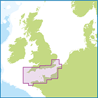
Imray Chart Y16 Walton Backwaters to Ipswich and Woodbridge
Original price was: £23.50.£21.15Current price is: £21.15. Add to basket -
Sale!
Imray Chart Y17A The Rivers Colne and Blackwater
Original price was: £25.95.£23.36Current price is: £23.36. Add to basket -
Sale!
Imray Chart Y17B The Rivers Crouch and Roach
Original price was: £25.95.£23.36Current price is: £23.36. Add to basket -
Sale!
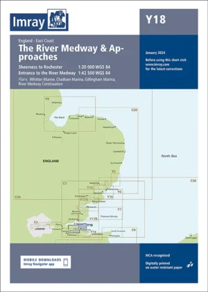
Imray Chart Y18 The River Medway and Approaches
Original price was: £25.95.£23.36Current price is: £23.36. Add to basket -
Sale!
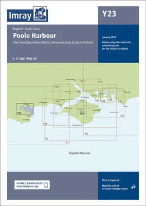
Imray Chart Y23 Poole Harbour
Original price was: £23.50.£21.15Current price is: £21.15. Add to basket -
Sale!
Imray Chart Y33: Langstone & Chichester Harbours
Original price was: £23.50.£21.15Current price is: £21.15. Add to basket -
Sale!
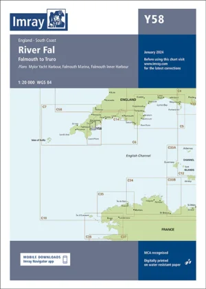
Imray Chart Y58 River Fal
Original price was: £23.50.£21.15Current price is: £21.15. Add to basket -
Sale!
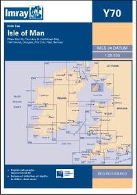
Imray Chart Y70 Isle of Man
Original price was: £23.50.£21.15Current price is: £21.15. Add to basket -
Sale!
IMRAY DIGITAL CHART ID10 NORTH SEA – MERIDIAN
Original price was: £120.00.£109.99Current price is: £109.99. Add to basket -
Sale!
IMRAY DIGITAL CHART ID100 EASTERN CARIBBEAN
Original price was: £120.00.£109.99Current price is: £109.99. Add to basket -
Sale!
IMRAY DIGITAL CHART ID20 ENGLISH CHANNEL – MERIDIAN
Original price was: £120.00.£109.99Current price is: £109.99. Add to basket -
Sale!
IMRAY DIGITAL CHART ID30 WEST COAST OF BRITAIN AND IRELAND – MERIDIAN
Original price was: £120.00.£109.99Current price is: £109.99. Add to basket -
Sale!
IMRAY DIGITAL CHART ID40 WESTERN ENGLISH CHANNEL TO BRITTANY & THE IBERIAN PENINSULA – MERIDIAN
Original price was: £120.00.£109.99Current price is: £109.99. Add to basket -
Sale!
IMRAY DIGITAL CHART ID50 WESTERN MEDITERRANEAN
Original price was: £144.00.£129.99Current price is: £129.99. Add to basket -
Sale!
IMRAY DIGITAL CHART ID60 CENTRAL MEDITERRANEAN
Original price was: £120.00.£109.99Current price is: £109.99. Add to basket -
Sale!
IMRAY DIGITAL CHART ID70 – THE EASTERN MEDITERRANEAN AND AEGEAN SEAS
Original price was: £120.00.£109.99Current price is: £109.99. Add to basket -
Sale!
ORKNEY AND SHETLAND ISLANDS by Clyde Cruising Club
Original price was: £37.50.£34.00Current price is: £34.00. Add to basket