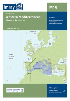
Explore the Western and Central Mediterranean with Imray M Series Charts – Precision Navigation for Your Maritime Adventures
Discover the essential tool for navigating the Western Mediterranean with our Imray M Series Charts. Renowned for their precision and comprehensive coverage, these charts are perfect for sailors, yachters, and maritime enthusiasts exploring the Mediterranean’s beautiful and diverse coastline. From the rugged shores of Spain to the enchanting islands of Italy and beyond, the Imray M Series provides reliable navigational aids to ensure a safe and enjoyable voyage.
Why Choose Imray M Series Charts?
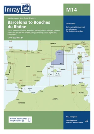
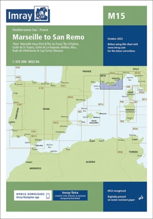
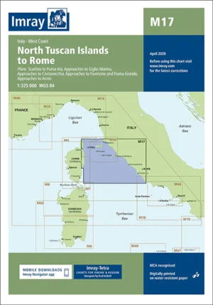
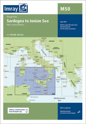
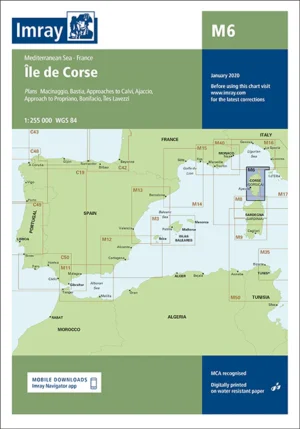
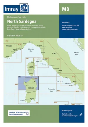
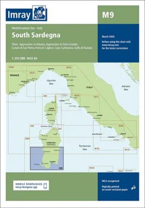
Comprehensive Coverage: The Imray M Series offers detailed mapping of key Mediterranean regions, including the Spanish coast, French Riviera, Italian islands, and North African shores. Each chart provides extensive coverage of important ports, harbors, and cruising areas, ensuring you have the information you need for successful navigation.
Accurate Navigational Data: Imray charts are known for their precision, providing essential information such as soundings, tidal streams, navigational hazards, and coastal features. This data helps mariners avoid dangers and find safe routes through busy and complex waters.
Imray Cartography Excellence: Trusted by mariners worldwide, Imray charts are celebrated for their clarity and accuracy. The M Series charts are meticulously crafted to offer the most up-to-date and detailed navigational information available.
Durable Marine-Grade Quality: Each chart is printed on water-resistant and tear-proof paper, designed to withstand the rigors of the marine environment. This ensures that your charts remain reliable and durable even in challenging conditions.
Current Information: The Imray M Series incorporates the latest navigational updates and changes, providing you with current and relevant data for your maritime journey.
Popular Charts in the Imray M Series:
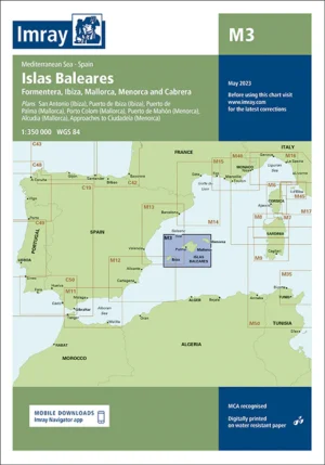
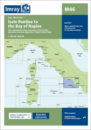
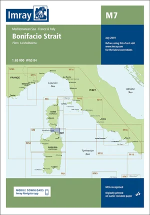
M3 Islas Baleares: Essential for navigating the beautiful Balearic Islands, including Mallorca, Menorca, and Ibiza.
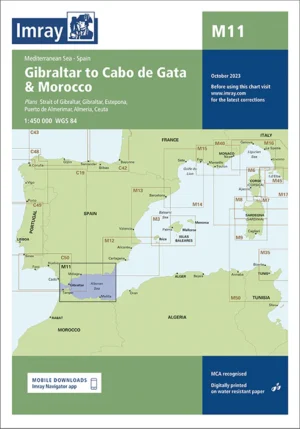
M11 Gibraltar to Cabo de Gata and Morocco: Covers key coastal areas from Gibraltar through Spain and into North Africa.
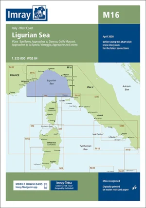
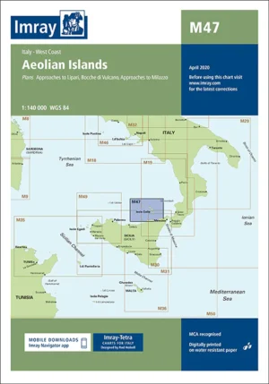
M16 Ligurian Sea: Detailed coverage of the Ligurian Sea, including the Italian and French coasts.
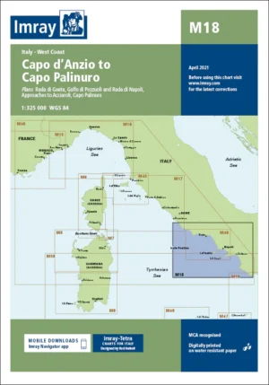
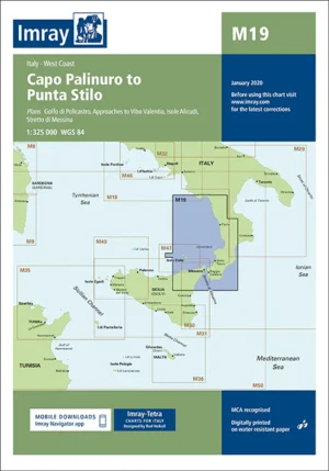
M19 Capo Palinuro to Punta Stilo: Offers comprehensive mapping of the southern Italian coast.
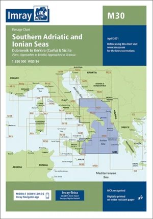
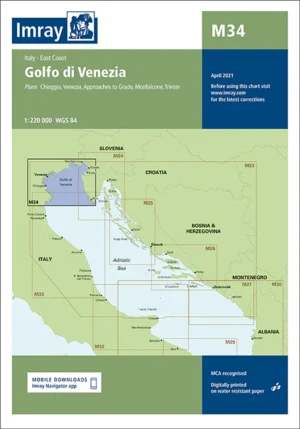
M34 Golfo di Venezia: Detailed chart for navigating the northern Adriatic Sea, including the Venetian lagoon.
Perfect For:
Sailors & Yachters: Essential for navigating the Mediterranean’s diverse coastlines and popular cruising destinations.
Mediterranean Explorers: Ideal for those venturing through the Mediterranean, offering detailed and reliable navigational data.
Maritime Enthusiasts: Perfect for anyone planning maritime adventures in the Mediterranean, ensuring up-to-date and comprehensive information.
Enhance your Mediterranean maritime experience with the Imray M Series Charts. Order now to access the most accurate and reliable navigational tools available for your sailing and cruising adventures.