Description
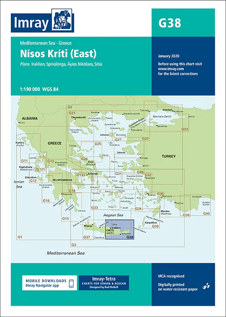
Imray Chart G38: Nísos Kríti (East)
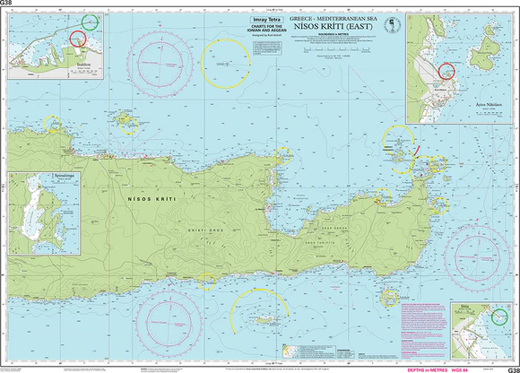
Navigate the eastern coast of Crete with precision using the Imray Chart G38: Nísos Kríti (East). This highly detailed chart is essential for sailors exploring the waters around Crete’s eastern region, offering accurate depictions of coastal features, harbors, anchorages, and navigational hazards. Produced by Imray, a trusted name in nautical charts, the G38 ensures safe and confident passage planning for both seasoned mariners and recreational sailors.
The chart is printed on durable, water-resistant paper, designed to withstand the challenging conditions at sea. Updated with the latest navigational data, it includes detailed information on tides, currents, and marine services, making it an indispensable tool for any voyage in this area.
Key Features:
- Covers the eastern coastline of Crete (Nísos Kríti).
- Detailed information on harbors, anchorages, and navigational hazards.
- Printed on durable, water-resistant paper.
- Updated with the latest tides, currents, and marine service data.
- Ideal for both professional mariners and leisure sailors.
Equip yourself with the Imray Chart G38 to ensure safe and accurate navigation around the eastern coast of Crete. Whether you’re cruising, fishing, or exploring, this chart is your reliable guide to the waters of Nísos Kríti.
Plans included:
- Iraklion (1:15 000)
- Spinalónga (1:50 000)
- Áyios Nikólaos (1:15 000)
- Sitía (1:10 000)
On this 2015 edition harbour developments and more recent survey Digital are shown at Áyios Nikólaos and Sitía.
PRODUCT INFORMATION
- Stock code: ICG38-1
- Author: Imray G Series
- Publication details: 640 x 900mm folded to A4, Water-resistant paper chart in plastic wallet
- Edition date: 2015
- Printed and updated to: January 2020
- ISBN: 9781846236884
Reviews
There are no reviews yet.