Description
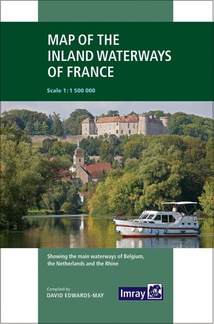
Map of the Inland Waterways of France by David Edwards-May: Your Ultimate Guide to France’s Scenic Waterways
Navigate France’s picturesque canals and rivers with the Map of the Inland Waterways of France by David Edwards-May. This comprehensive map is an essential tool for boaters, offering detailed coverage of France’s extensive network of inland waterways, including key navigational information, highlights, and practical tips to enhance your journey.
Key Features:
- Extensive Coverage: Provides detailed maps of all major canals and rivers in France, including the Seine, Rhône, Loire, and Canal du Midi, ensuring you have the information you need to explore every corner of the country’s inland waterways.
- Expertly Authored: Created by David Edwards-May, a renowned expert in European waterways, ensuring accurate, reliable, and up-to-date information.
- Detailed Navigational Information: Includes crucial navigational details such as locks, bridges, depths, and marinas, helping you plan and execute your journey with confidence.
- Highlights and Attractions: Features points of interest, historical landmarks, and scenic routes, allowing you to make the most of your voyage through France’s beautiful landscapes.
- Practical Tips: Offers practical advice on cruising regulations, waterway etiquette, and essential services, enhancing your overall cruising experience.
- User-Friendly Design: Designed for easy reference with a clear, intuitive layout and high-quality graphics, making it simple to find the information you need quickly.
Why Choose Map of the Inland Waterways of France by David Edwards-May?
- Trusted Expertise: Benefit from the extensive knowledge and experience of David Edwards-May, a leading authority on European waterways, who provides thorough and dependable guidance.
- Essential for Safe Navigation: Ensures safe and enjoyable cruising with detailed navigational advice, making it an indispensable resource for both novice and experienced boaters.
- Enhances Cruising Experience: By highlighting key attractions and providing practical tips, this map helps you fully immerse yourself in the charm and beauty of France’s inland waterways.
- Suitable for All Boaters: Whether you’re a professional mariner or a recreational boater, this map offers valuable insights and practical advice for all levels of experience.
Ideal For:
- Professional Mariners: An invaluable tool for commercial vessel operators and professional navigators cruising France’s inland waterways.
- Recreational Boaters: Perfect for leisure boaters, yacht owners, and canal enthusiasts planning to explore the scenic canals and rivers of France.
- Travel Enthusiasts: A must-have guide for anyone looking to discover the hidden gems and stunning landscapes of France’s inland waterways.
Discover the beauty and tranquility of France’s canals and rivers with confidence using the Map of the Inland Waterways of France by David Edwards-May. Order now to equip yourself with the essential navigational information and expert guidance needed for a safe, enjoyable, and enriching cruising experience.
First published in the 1950s under the editorship of EE Benest and later Konrad Nussbaum, the Imray map of the French inland waterway system has always been regarded as the essential reference for planning a visit to France by boat. It is now superseded by this completely recompiled and redrawn edition by David Edwards-May, the leading authority on World canals and waterways.
The new cartography includes improved detail and presents essential information concerning distances and dimensions with a greater clarity than on previous editions. The map continues to cover the Low Countries and the western part of Germany and now also includes large scale insets of the Paris region and northeast France. The scale remains at 1:1 500 000
PRODUCT INFORMATION
- Stock code: IM0006-1
- Author: David Edwards-May
- Publication details: 19, Folded paper map
- Edition: 3rd
- Edition date: 2019
- ISBN: 9781786790644


Reviews
There are no reviews yet.