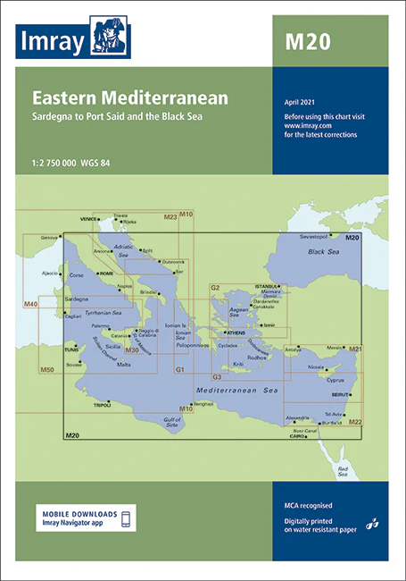
Description
Imray Chart M20 Eastern Mediterranean – Navigate the Eastern Mediterranean with Precision
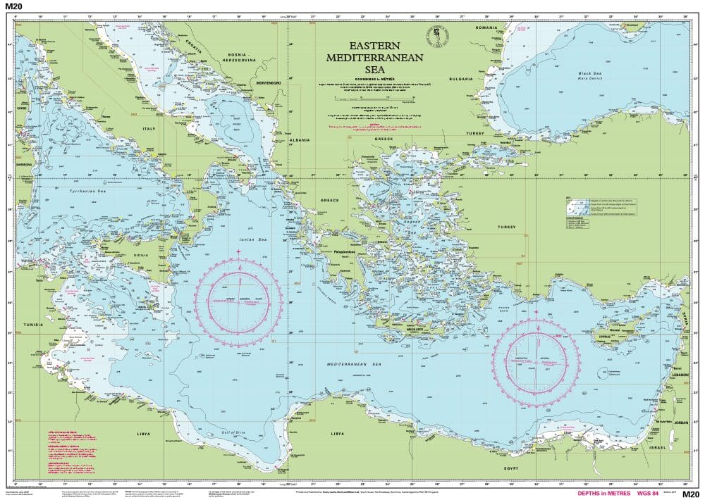
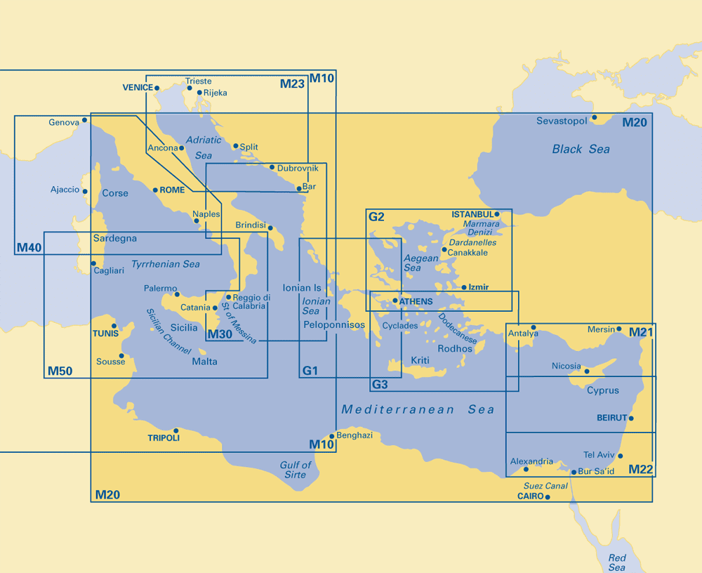
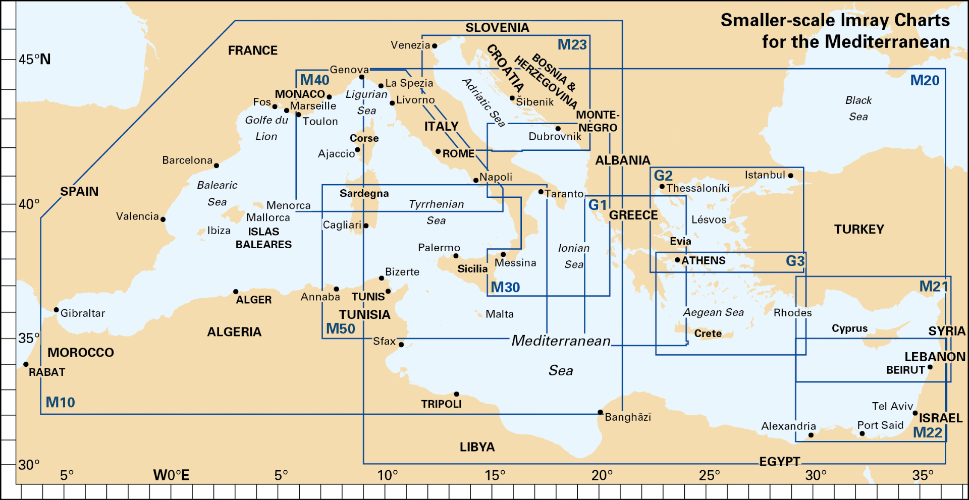
Explore the stunning and historically rich waters of the Eastern Mediterranean with the Imray Chart M20 Eastern Mediterranean. This essential navigation chart provides detailed and accurate coverage of a key maritime region, including parts of Greece, Turkey, Cyprus, and the surrounding islands. Perfect for sailors, cruisers, and yachters, this chart ensures a safe and enjoyable maritime journey through one of the Mediterranean’s most beautiful areas.
Key Features:
- Extensive Coverage: Detailed charting of the Eastern Mediterranean, including major coastal regions, key ports, harbors, and significant maritime routes in Greece, Turkey, Cyprus, and surrounding islands.
- Precise Navigation Data: Features up-to-date soundings, tidal streams, and navigational hazards to ensure safe and effective navigation through the diverse and picturesque waters of the Eastern Mediterranean.
- High-Quality Cartography: Imray’s renowned cartography provides clear and detailed markings, making it easy to plot your course and identify important landmarks and navigational aids.
- Durable & Water-Resistant: Printed on premium, water-resistant paper, this chart is designed to withstand the marine environment, offering long-lasting reliability during your voyages.
- Regular Updates: Incorporates the latest navigational updates and changes, ensuring that you have the most current and accurate information for your maritime journey.
Why Choose Imray Chart M20?
- Trusted Accuracy: Imray charts are well-regarded for their precision and dependability, making them a top choice for both professional mariners and recreational sailors.
- Enhanced Safety: Provides essential information for navigating the diverse and scenic waters of the Eastern Mediterranean, helping you avoid hazards and find safe anchorages.
- Ideal for Planning: Perfect for planning both short trips and extended cruises, offering detailed guidance for effective route planning and navigation across this historic region.
- Convenient & Portable: Designed for easy folding and storage, making it a practical addition to any navigator’s collection.
Ideal For:
- Sailors & Yachters: Essential for navigating the Eastern Mediterranean, including major ports and picturesque coastal areas, offering detailed information for safe and enjoyable voyages.
- Mediterranean Cruisers: Ideal for those exploring the Eastern Mediterranean, providing valuable data for navigating one of the Mediterranean’s most captivating regions.
- Charterers & Day-Trippers: Great for boat rentals and day trips in the Eastern Mediterranean, ensuring reliable and up-to-date information for a safe and pleasant maritime experience.
Navigate the breathtaking waters of the Eastern Mediterranean with confidence using the Imray Chart M20 Eastern Mediterranean. Order now to ensure your maritime adventures are guided by the most accurate and detailed navigational tools available.
A passage planning chart covering Sardegna to Port Said and the Black Sea. On this edition the magnetic variation curves have been updated with the latest Digital. There has been general updating throughout.
PRODUCT INFORMATION
- Stock code: ICM20-2
- Author: Imray M Series
- Publication details: 640 x 900mm folded to A4, Water-resistant paper chart in plastic wallet
- Edition date: 2021
- Printed and updated to: April 2023
- ISBN: 9781786792600
Reviews
There are no reviews yet.