Description
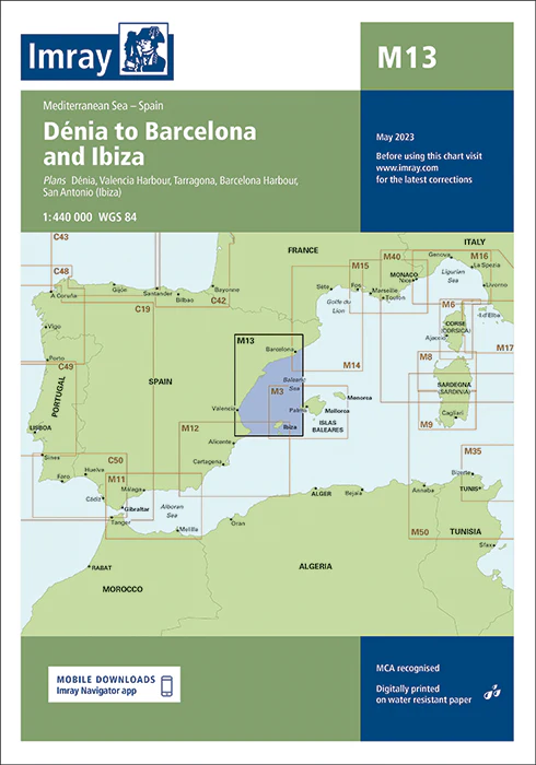
Imray Chart M13 Dénia to Barcelona and Ibiza – Your Ultimate Guide to Navigating the Western Mediterranean
Navigate the stunning western Mediterranean with ease using the Imray Chart M13 Dénia to Barcelona and Ibiza. This high-quality chart is specifically designed for sailors, yachters, and cruisers exploring the vibrant coastlines and beautiful waters between Dénia, Barcelona, and Ibiza. Whether you’re planning a leisurely cruise or a detailed maritime adventure, this chart provides the essential navigational data you need for a safe and enjoyable journey.
Key Features:
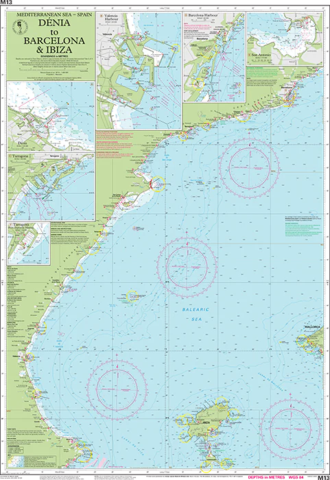
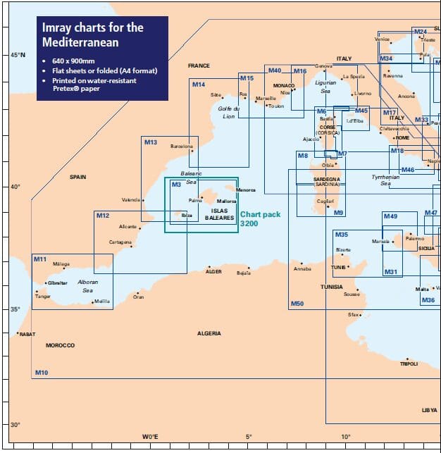
- Comprehensive Coverage: Detailed mapping from Dénia and the surrounding Spanish coastline to the bustling port of Barcelona and the picturesque island of Ibiza. Includes essential coastal areas, ports, harbors, and popular cruising spots.
- Precise Navigational Data: Offers critical information such as soundings, tidal streams, navigational hazards, and key coastal features. Designed to ensure accurate and safe navigation through busy and complex waters.
- Imray Cartography: Renowned for its precision and clarity, Imray charts deliver reliable and detailed information that mariners trust for effective route planning.
- Durable Marine-Grade: Printed on water-resistant and tear-proof paper, this chart is built to endure the marine environment, ensuring long-lasting durability and repeated use.
- Up-to-Date Information: Incorporates the latest navigational updates and changes, providing current and relevant data for your maritime adventures in the western Mediterranean.
Why Choose Imray Chart M13?
- Accuracy and Reliability: Imray charts are celebrated for their precision, making them the go-to choice for mariners who need dependable and accurate navigational tools.
- Enhanced Safety: Detailed charts help you navigate hazards, find safe anchorages, and manage complex coastal routes with ease and confidence.
- Ideal for Mediterranean Cruising: Perfect for planning voyages along the western Mediterranean, offering comprehensive coverage of key ports and scenic areas between Dénia, Barcelona, and Ibiza.
- User-Friendly Layout: Features a clear and organized design, making it easy to read and use, even in challenging conditions, ensuring effective navigation and planning.
Perfect For:
- Sailors & Yachters: Essential for navigating from Dénia to Barcelona and Ibiza, providing detailed charts of important ports and cruising destinations.
- Mediterranean Explorers: Ideal for those exploring the western Mediterranean coastline and islands, offering accurate and reliable information for a smooth voyage.
- Maritime Adventurers: Perfect for anyone planning to navigate the diverse and scenic waters of this region, ensuring you have up-to-date and comprehensive navigational data.
Navigate the captivating western Mediterranean with confidence using the Imray Chart M13 Dénia to Barcelona and Ibiza. Order now to ensure you have the most accurate and reliable chart available for your maritime explorations in this beautiful region.
Plans included:
- Puerto de San Antonio (Ibiza) (1:17 500)
- Puerto de Ibiza (Ibiza) (1:15 000)
- Puerto de Palma (Mallorca) (1:17 500)
- Porto Colom (Mallorca) (1:10 000)
- Puerto de Mahón (Menorca) (1:20 000)
- Alcudia (Mallorca) (1:15 000)
- Approaches to Ciudadela (Menorca) (1:10 000)
This edition includes the latest official Instituto Hidrográfico de la Marina Digital, combined with additional information sourced from Imray’s network to make it ideal for small craft. The chart has been fully revised throughout. The plans of Puerto de San Antonio (Ibiza) and Alcudia (Mallorca) now provide coverage at improved larger scales.
PRODUCT INFORMATION
- Stock code: ICM13-4
- Author: Imray M Series
- Publication details: 640 x 900mm folded to A4, Water-resistant paper chart in plastic wallet or flat on request
- Edition date: 2023
- Printed and updated to: March 2023
- ISBN: 9781786794581


Reviews
There are no reviews yet.