Description
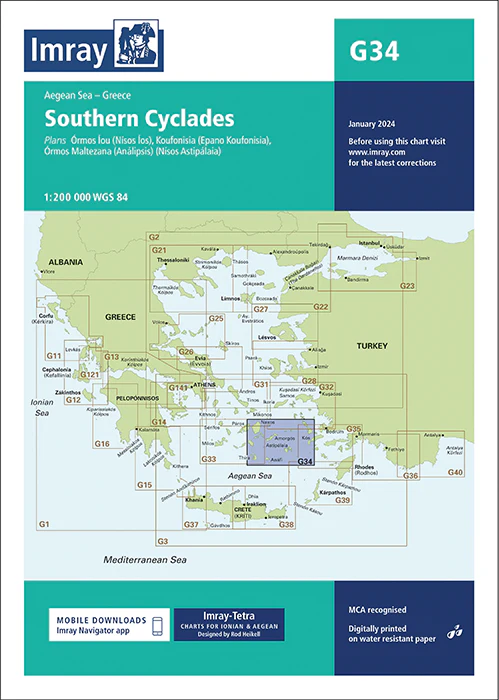
Imray Chart G34 Southern Cyclades – Navigate the Idyllic Greek Islands with Precision
Embark on your Aegean adventure with the Imray Chart G34 Southern Cyclades, your essential navigational tool for exploring the stunning Greek islands. This detailed chart covers the southern Cyclades, including popular islands such as Santorini, Naxos, Ios, and Amorgos, offering precise mapping and vital navigational information for safe and enjoyable sailing.
Key Features:
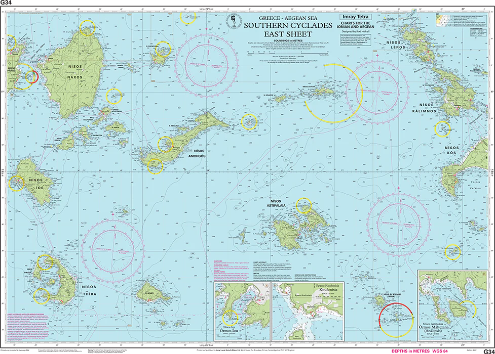
- Comprehensive Coverage: Detailed mapping of the Southern Cyclades, encompassing key islands and coastal areas. Perfect for navigating the popular sailing routes in this picturesque region of the Aegean Sea.
- Accurate Navigational Data: Includes crucial information such as soundings, tidal streams, navigational hazards, and anchorage details, ensuring you can sail confidently through both well-traveled and remote areas.
- Trusted Imray Quality: Renowned for precision and reliability, Imray charts are the go-to choice for mariners seeking dependable navigation tools.
- Durable and Resilient: Printed on marine-grade, water-resistant paper, this chart is designed to withstand the challenging conditions of sea navigation, ensuring long-lasting use.
- Updated Information: Features the latest navigational updates, giving you access to current data for safe and accurate passage planning.
Why Choose Imray Chart G34?
- Ideal for Aegean Sailors: Whether you’re cruising the clear waters of Santorini or exploring the secluded coves of Amorgos, this chart provides all the information you need to navigate the Southern Cyclades with ease.
- Safety and Accuracy: With detailed soundings and hazard markings, this chart helps you avoid dangers and find the safest routes through these popular islands.
- Perfect for Island Hopping: Ideal for sailors planning to explore multiple islands in the Cyclades, offering comprehensive coverage and detailed information on anchorages, marinas, and ports.
Perfect For:
- Sailors & Yachters: Essential for navigating the Southern Cyclades, providing accurate charts of key islands and popular sailing routes.
- Aegean Sea Explorers: Ideal for those planning to explore the Cyclades, offering detailed and reliable information for a smooth voyage.
- Mediterranean Cruisers: Perfect for anyone cruising the Mediterranean, ensuring you have the most current and comprehensive navigational data.
Navigate the breathtaking Southern Cyclades with confidence using the Imray Chart G34 Southern Cyclades. Order now to equip yourself with the most accurate and reliable chart for your Greek island adventure.
Plans included
Órmos Íou (Nísos Íos) (1:25 000)
Koufonisia (Epano Koufonisia) (1:15 000)
Órmos Maltezana (Análipsis) (Nísos Astipálaia) (1:25 000)
This edition includes the latest official data combined with additional information sourced from Imray’s network to make it ideal for small craft. It includes the latest official bathymetric surveys. There has been general updating throughout.
Imray-Tetra charts for the Ionian and Aegean are widely acknowledged as the best available for the cruising sailor. They combine the latest official survey data with first-hand information gathered by Rod and Lucinda Heikell. The chart is designed to be used alongside Imray pilot guides of the area. Like all Imray charts, they are printed on water resistant Pretex paper for durability, and they include many anchorages, facilities and inlets not included on official charts.
PRODUCT INFORMATION
- Stock code: ICG34-2
- Author: Imray G Series
- Publication details: 640 x 900mm folded to A4, Water-resistant paper chart in plastic wallet or flat on request
- Edition date: 2024
- Printed and updated to: January 2024
- ISBN: 9781786795557

Reviews
There are no reviews yet.