Description
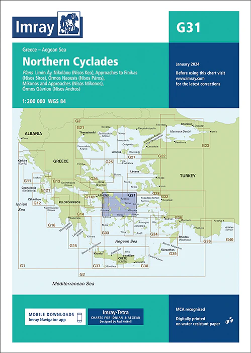
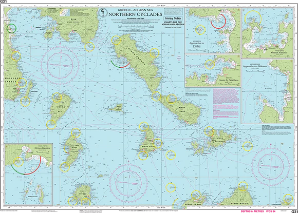
Imray Chart G31: Northern Cyclades
Navigate the enchanting waters of the Northern Cyclades with precision using the Imray Chart G31: Northern Cyclades. This detailed nautical chart is your essential companion for exploring one of Greece’s most iconic sailing regions, renowned for its picturesque islands, crystal-clear waters, and historic landmarks. Trusted by mariners worldwide, Imray charts are known for their accuracy, reliability, and up-to-date information, making them a must-have for safe navigation.
The Imray Chart G31 provides comprehensive coverage of the Northern Cyclades, including key islands such as Andros, Tinos, Mykonos, and Syros. It is printed on durable, water-resistant paper, ensuring it can withstand the challenges of the marine environment. The chart features detailed information on coastal features, harbors, anchorages, water depths, and potential navigational hazards, helping you to plan and execute your voyage with confidence.
Key Features:
- Comprehensive coverage of the Northern Cyclades, including Andros, Tinos, Mykonos, and Syros.
- Detailed information on harbors, anchorages, coastal features, and navigational hazards.
- Printed on high-quality, water-resistant paper designed for marine use.
- Regularly updated with the latest navigational data for safe and accurate passage planning.
- Essential for professional mariners, charter operators, and recreational sailors exploring the Greek islands.
Whether you’re sailing the Aegean for the first time or returning to these beautiful islands, the Imray Chart G31: Northern Cyclades is your go-to resource for a safe and enjoyable journey. Ensure your navigation is as smooth as the waters you sail with this indispensable nautical chart.
Plans included:
PRODUCT INFORMATION
- Stock code: ICG31-3
- Author: Imray G Series
- Publication details: 640 x 900mm folded to A4, Water-resistant paper chart in plastic wallet or flat on request
- Edition date: 2024
- Printed and updated to: January 2024
- ISBN: 9781786795526
Reviews
There are no reviews yet.