Description
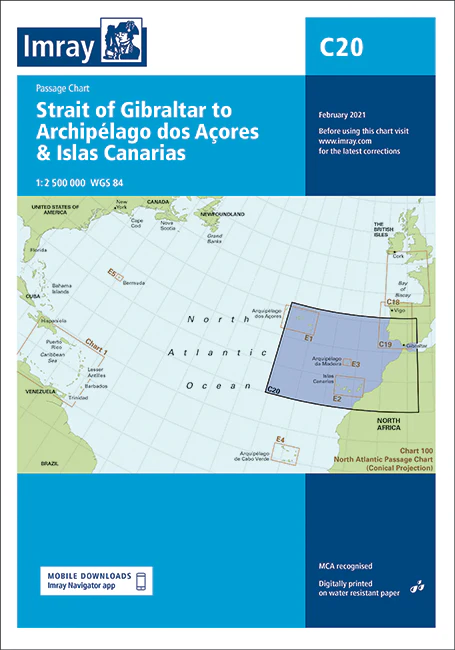
Imray Chart C20: Strait of Gibraltar to Archipélago dos Açores & Islas Canarias Passage Chart – Your Essential Navigation Tool
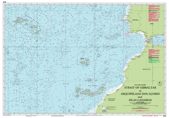
Navigate the expansive waters from the Strait of Gibraltar to the Archipélago dos Açores and the Islas Canarias with confidence using the Imray Chart C20. This high-quality passage chart is meticulously designed to provide sailors with essential navigational information for safe and efficient passage through these significant maritime routes.
Key Features:
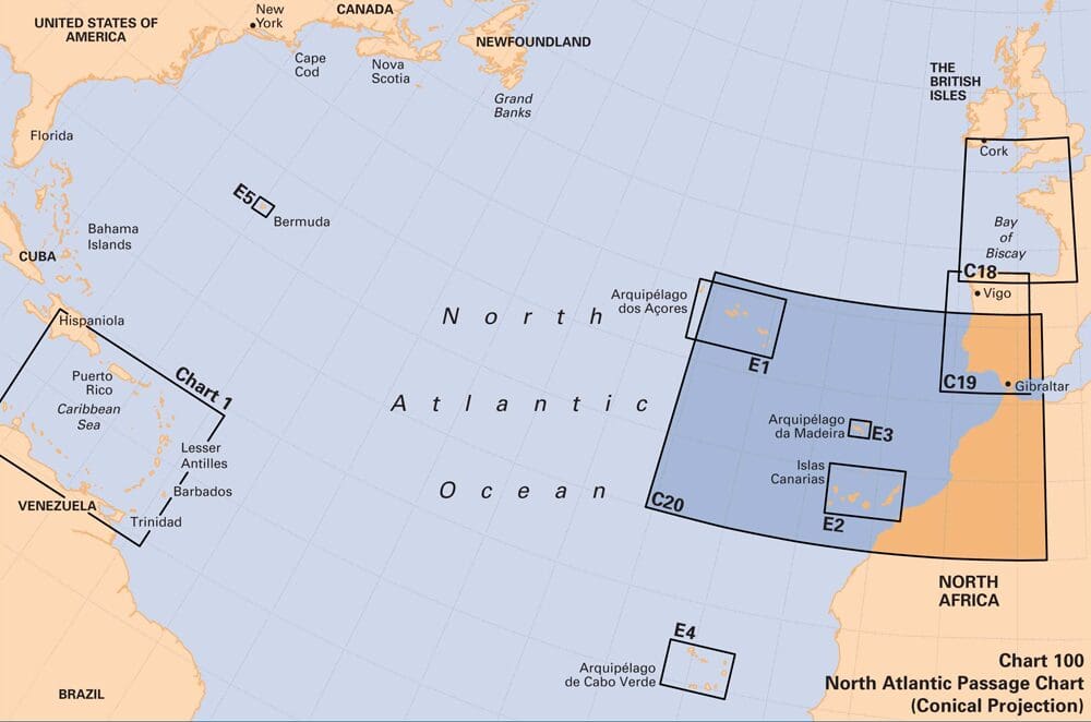
- Extensive Coverage: Covers the strategic maritime area from the Strait of Gibraltar to the Archipélago dos Açores and the Islas Canarias, providing comprehensive details for long-distance navigation.
- Expertly Crafted: Produced by Imray, a trusted name in marine charts, ensuring accuracy, reliability, and up-to-date navigational data.
- Detailed Information: Includes critical navigational details such as waypoints, tidal streams, magnetic variations, and depth contours, assisting sailors in plotting a safe course.
- High-Quality Printing: Features clear, precise, and durable printing on waterproof paper, making it resilient against the marine environment and ideal for use in all weather conditions.
- User-Friendly Design: Designed with a clear, intuitive layout that makes it easy to read and interpret, even under challenging conditions.
- Complementary Charts: Works seamlessly with other Imray charts, providing a cohesive and comprehensive navigational toolkit for sailors exploring the North Atlantic routes.
Why Choose Imray Chart C20?
- Trusted Expertise: Benefit from the trusted accuracy and reliability of Imray charts, renowned for their precision and detailed navigational information.
- Essential for Safe Passage: Ensures safe and efficient navigation through one of the most traveled maritime routes, making it an indispensable tool for sailors.
- Enhances Navigational Confidence: Helps you plot your course with confidence, providing all the necessary details for a smooth and safe journey.
- Durable and Practical: Printed on waterproof and tear-resistant paper, this chart is built to withstand the rigors of the marine environment.
Ideal For:
- Professional Mariners: An invaluable resource for commercial vessel operators and professional navigators planning passages between the Strait of Gibraltar, the Açores, and the Canary Islands.
- Recreational Sailors: Perfect for yacht owners, leisure boaters, and sailing enthusiasts embarking on long-distance cruises in the North Atlantic.
- Sailing Instructors and Students: A must-have educational tool for sailing schools and students learning about navigation and passage planning in these key maritime areas.
Equip yourself with the Imray Chart C20: Strait of Gibraltar to Archipélago dos Açores & Islas Canarias Passage Chart and ensure your next voyage is safe, efficient, and enjoyable. Order now to secure this essential navigational aid for your sailing adventures.
PRODUCT INFORMATION
- Stock code: ICC20-2
- Author: Imray C Series
- Publication details: 787 x 1118mm folded to A4, Water-resistant paper chart in plastic wallet or flat on request
- Edition date: 2021
- Printed and updated to: February 2024
- ISBN: 9781786792587
Reviews
There are no reviews yet.