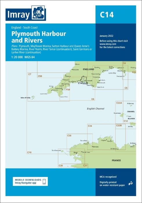
Description
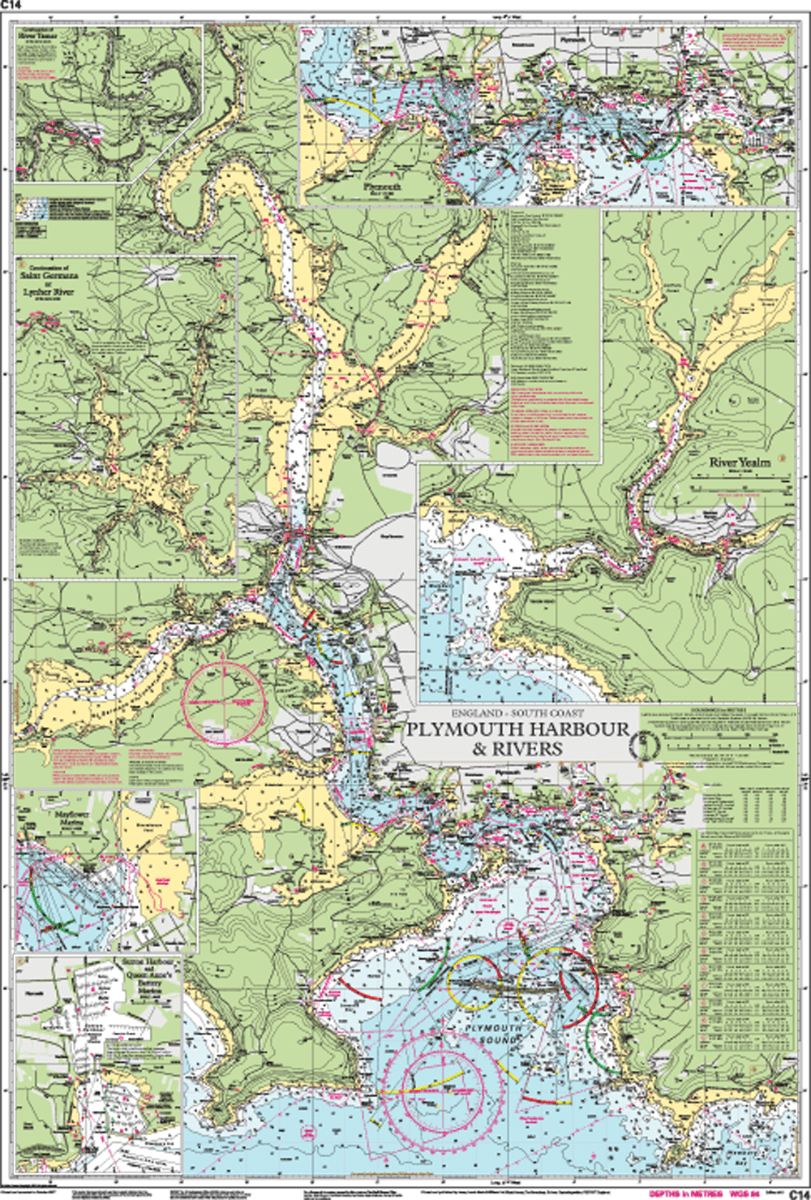
Imray Chart C14 – Plymouth Harbours & Rivers: covers Plymouth ,Mayflower Marina, Sutton Harbour and Queen Anne’s Battery Marina, River Yealm, Continuation of Saint Germans or Lynher River, and the Continuation of River Tamar
Ensure safe and accurate navigation through the intricate waters of Plymouth with the Imray Chart C14 – Plymouth Harbours & Rivers. This highly detailed chart is an essential tool for mariners, providing comprehensive information for navigating the harbors, rivers, and surrounding coastal areas.
Key Features:
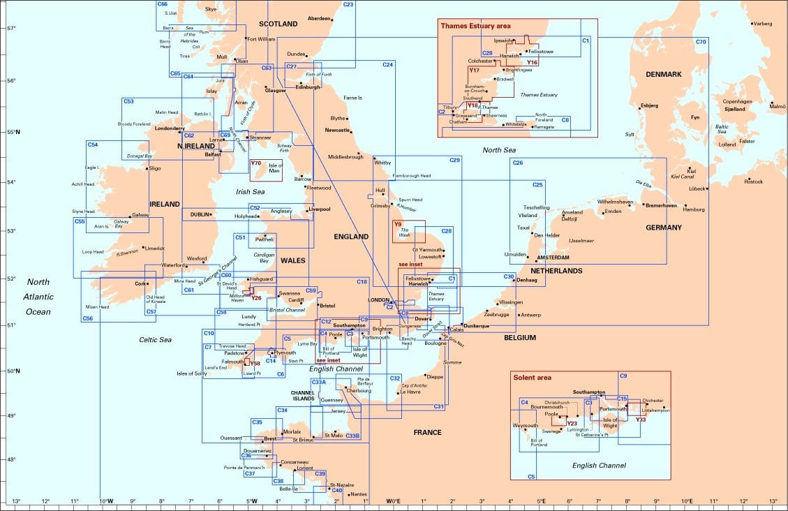
- Detailed Coverage: Covers the harbors, rivers, and coastal waters around Plymouth, including Plymouth Sound, the River Tamar, the River Plym, and adjacent areas.
- High Accuracy: Features detailed depth contours, tidal streams, navigational aids, and local hazards, ensuring precise navigation and safety.
- Regularly Updated: Imray charts are frequently updated to provide the most current navigational data, keeping mariners well-informed.
- Clear and User-Friendly Layout: Designed for ease of use with clear symbols and an intuitive layout, making navigation straightforward and efficient.
- Durable and Waterproof: Printed on high-quality, waterproof paper, this chart is built to withstand the harsh marine environment.
Why Choose Imray Chart C14?
- Trusted by Mariners: Imray is a renowned name in nautical charts, celebrated for their reliability and precision.
- Essential for Safe Navigation: Provides all necessary information for secure and efficient navigation through Plymouth’s complex waterways.
- User-Friendly: The chart’s clear and easy-to-read format makes it accessible for both experienced and novice sailors.
- Robust and Reliable: Constructed with durable materials to endure the demands of the marine environment, ensuring long-lasting use.
Ideal For:
- Professional Mariners: An indispensable tool for commercial vessels navigating the harbors and rivers of Plymouth.
- Recreational Sailors: Perfect for yachtsmen and leisure boaters planning voyages in and around Plymouth’s waters.
- Sailing Enthusiasts: A must-have for any sailing enthusiast looking to explore Plymouth’s harbors and rivers with confidence and precision.
Navigate the waters of Plymouth with confidence using the Imray Chart C14 – Plymouth Harbours & Rivers. Order now to equip yourself with the essential navigational information needed for a successful journey.
Plans included:
- Plymouth (1:12 500)
- Mayflower Marina (1:4500)
- Sutton Harbour and Queen Anne’s Battery Marina (1:4500)
- River Yealm (1:12 500)
- Continuation of Saint Germans or Lynher River (1:20 000)
- Continuation of River Tamar (1:20 000)
PRODUCT INFORMATION
- Stock code: ICC14-4
- Author: Imray C Series
- Publication details: 787 x 1118mm folded to A4, Water-resistant paper chart in plastic wallet or flat on request
- Edition date: 2022
- Printed and updated to: January 2024
- ISBN: 9781786793522
Reviews
There are no reviews yet.