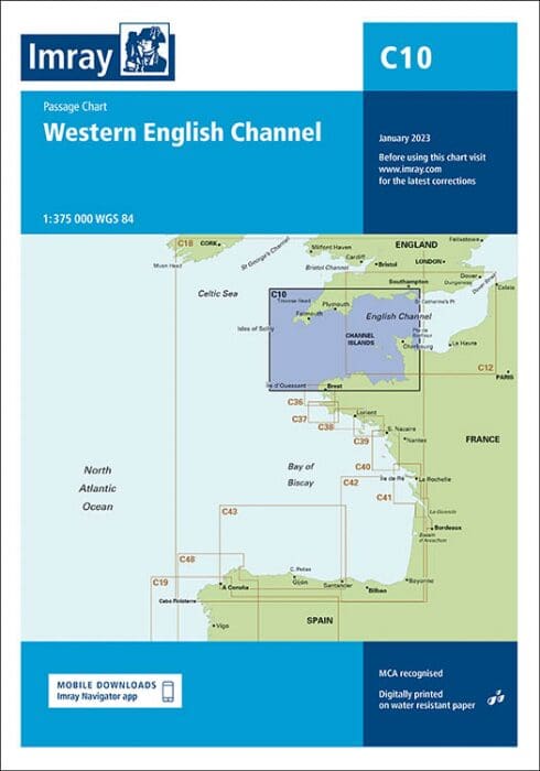
Description
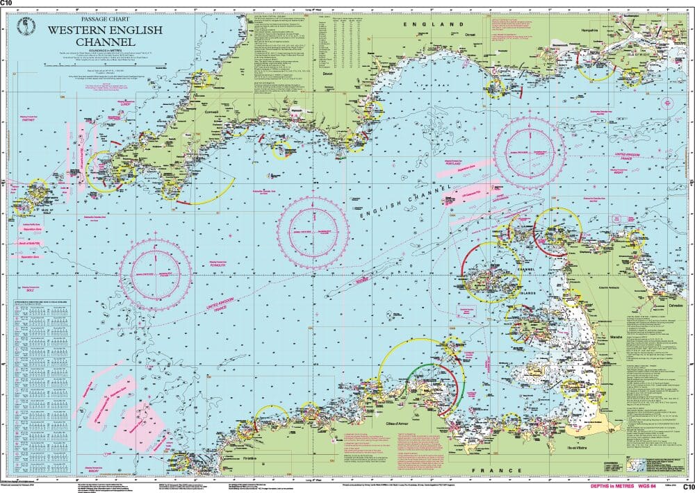
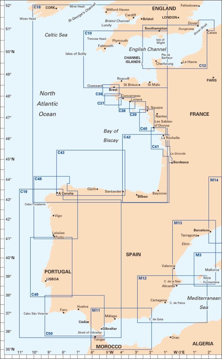
Imray Chart C10 – Western English Channel Passage Chart: covers Western English Channel, from Isles of Scilly to the Isle of Wight, and from Ile d’Ouessant to Cherbourg.
Ensure safe and accurate navigation through one of the busiest maritime areas with the Imray Chart C10 – Western English Channel Passage Chart. Trusted by mariners worldwide, this detailed chart provides all the essential information needed for a secure passage through the Western English Channel and has been reschemed alongside C12 Eastern English Channel Passage Chart so that both charts provide seamless coverage of the English Channel at the same scale (1:375,000). Coverage on this chart allows for passage planning in the Western English Channel, from Isles of Scilly to the Isle of Wight, and from Ile d’Ouessant to Cherbourg.
Key Features:
- Comprehensive Coverage: Covers the Western English Channel from Land’s End to the Isle of Wight, including key ports, harbors, and coastal features.
- High Detail and Accuracy: Features detailed depth contours, tidal streams, navigational aids, and hazards, ensuring precise navigation.
- Regular Updates: Imray charts are regularly updated to provide the latest navigational data, helping mariners stay informed and safe.
- Clear and Easy-to-Read Layout: Designed for ease of use with clear symbols and an intuitive layout, making navigation straightforward and efficient.
- Durable Construction: Printed on high-quality, waterproof paper, this chart is built to withstand the harsh marine environment.
Why Choose Imray Chart C10?
- Trusted by Mariners: Imray is a respected name in nautical charts, known for their reliability and precision.
- Essential for Safe Passage: Provides all necessary information for a safe and efficient passage through the Western English Channel, one of the busiest and most challenging maritime areas.
- User-Friendly: The chart’s clear design and easy-to-read format make it accessible for both experienced and novice sailors.
- Robust and Reliable: Made with durable materials to endure the demands of the marine environment, ensuring long-lasting use.
Ideal For:
- Professional Mariners: An indispensable tool for commercial vessels navigating the Western English Channel.
- Recreational Sailors: Perfect for yachtsmen and leisure boaters planning voyages through this busy and dynamic area.
- Sailing Enthusiasts: A must-have for any sailing enthusiast looking to explore the Western English Channel with confidence and precision.
Navigate the Western English Channel with confidence using the Imray Chart C10 – Western English Channel Passage Chart. Order now to ensure a safe and successful journey through this vital maritime corridor.
PRODUCT INFORMATION
- Stock code: ICC10-4
- Author: Imray C Series
- Publication details: 787 x 1118mm folded to A4, Water-resistant paper chart in plastic wallet or flat on request
- Edition date: 2023
- Printed and updated to: January 2024
- ISBN: 9781786794611
Reviews
There are no reviews yet.