Description
Thames Estuary Chart
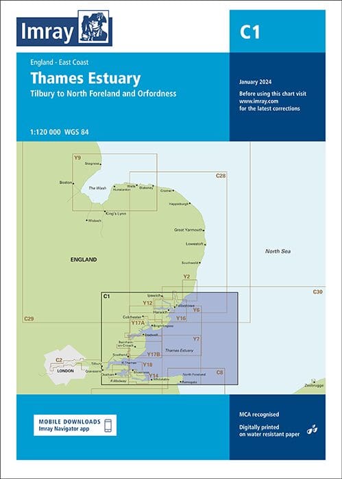
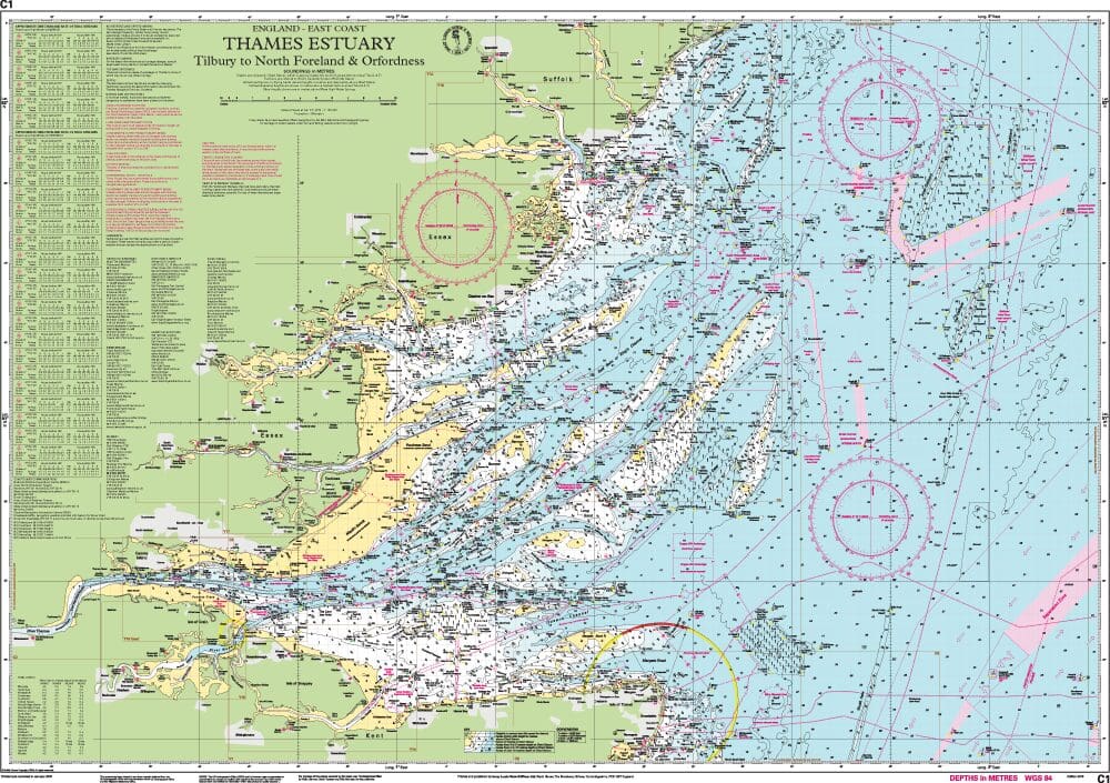
Imray Chart C1 is the trusted large-scale chart for navigating one of the busiest and most complex areas of UK waters. Covering the entire Thames Estuary, from Harwich and Ramsgate up into the River Thames, this chart is an essential companion for yachtsmen, motor cruisers, and commercial skippers alike.
Imray Chart C1 Thames Estuary presents unique challenges: shifting sandbanks, extensive tidal streams, narrow buoyed channels, and heavy commercial traffic. The Imray C1 chart is designed to give clarity and confidence in these conditions. It features detailed hydrographic data, updated buoyage, and clear depth soundings to support safe navigation in this ever-changing region.
Imray charts are renowned for their clear colour schemes, practical layout, and easy-to-read design at the chart table or in the cockpit. The C1 is printed on durable, water-resistant paper, making it robust enough for regular use afloat.
This edition is fully corrected to the latest Notices to Mariners, ensuring skippers have access to the most up-to-date information when planning passages through the Thames Estuary. It integrates seamlessly with Imray’s 2000 seriesinshore charts and pilot books, making it ideal for both coastal passage planning and detailed pilotage.
Whether you’re entering London via the Thames, cruising north to Harwich, or heading south to Ramsgate, the Imray Chart C1 Thames Estuary Chart provides the clarity and detail you need to navigate one of the UK’s most important waterways.
Key Features:
-
Imray’s Large-scale Chart C1 chart provides coverage from Harwich & Ramsgate to London
-
Updated buoyage, depth soundings, and tidal data
-
Clear Imray colour scheme and easy-to-use layout
-
Durable, water-resistant paper for onboard use
-
Fully corrected to latest Notices to Mariners
-
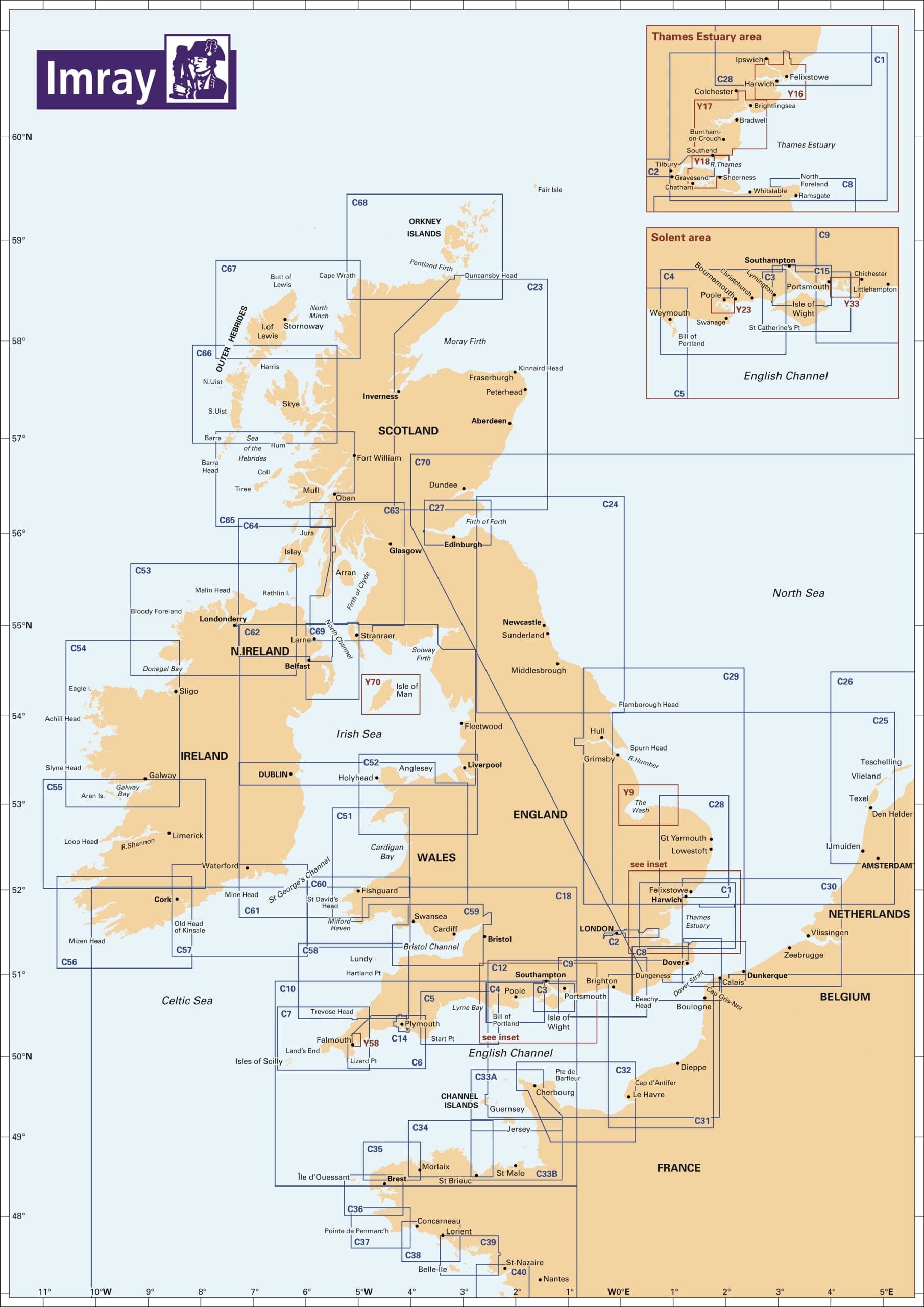
Compatible with Imray 2000 series inshore charts
- Comprehensive Coverage: This chart covers the Thames Estuary, extending from London to the North Sea, including detailed depictions of the River Thames and surrounding waters.
- High Detail: Features critical navigational information such as depth contours, tidal streams, buoyage, and anchorage points.
- Up-to-Date Information: Regularly updated to include the latest navigational data, ensuring you have the most current information available.
- Clear and Easy-to-Read: Designed for ease of use with clear symbols and straightforward layout, making navigation simpler and safer.
Why Choose Imray Chart C1: Thames Estuary Chart?
- Trusted Accuracy: Imray charts are trusted by professional and recreational mariners worldwide for their reliability and precision.
- Essential for Safe Navigation: Whether you’re navigating commercial routes or exploring recreational waters, the detailed information in this Thames Estuary Chart helps ensure safe passage, day or night.
- Durable and Waterproof: Printed on high-quality, waterproof paper, this chart is built to withstand the challenging marine environment.
Ideal For:
- Commercial Mariners: Navigate busy shipping lanes and commercial routes with accurate, up-to-date information.
- Recreational Boaters: Imray’s Thames Estuary Chart enables you to explore the area with confidence, knowing you have reliable data at your fingertips.
PRODUCT INFORMATION
- Stock code: ICC1-8
- Author: Imray C Series
- Publication details: 787 x 1118mm folded to A4, Water-resistant paper chart in plastic wallet or flat on request
- Edition date: 2024
- Printed and updated to: January 2024
- ISBN: 9781786795588
Reviews
There are no reviews yet.