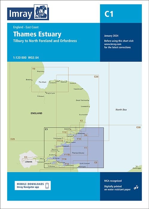

Description
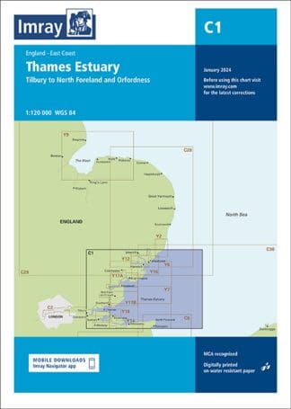
Imray Chart C1 – Thames Estuary: Covers Tilbury to North Foreland and Orfordness – England East Coast
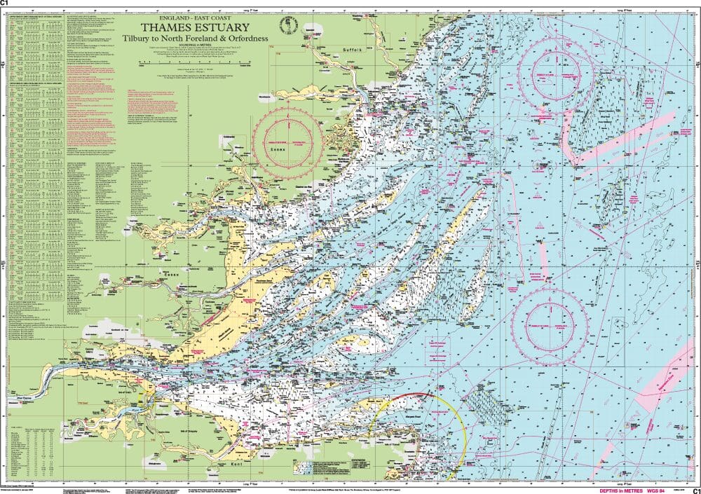
Navigate the complex waters of the Thames Estuary with confidence using the Imray Chart C1. Renowned for its precision and detail, this chart is an essential tool for any mariner sailing in this busy and dynamic area.
Key Features:
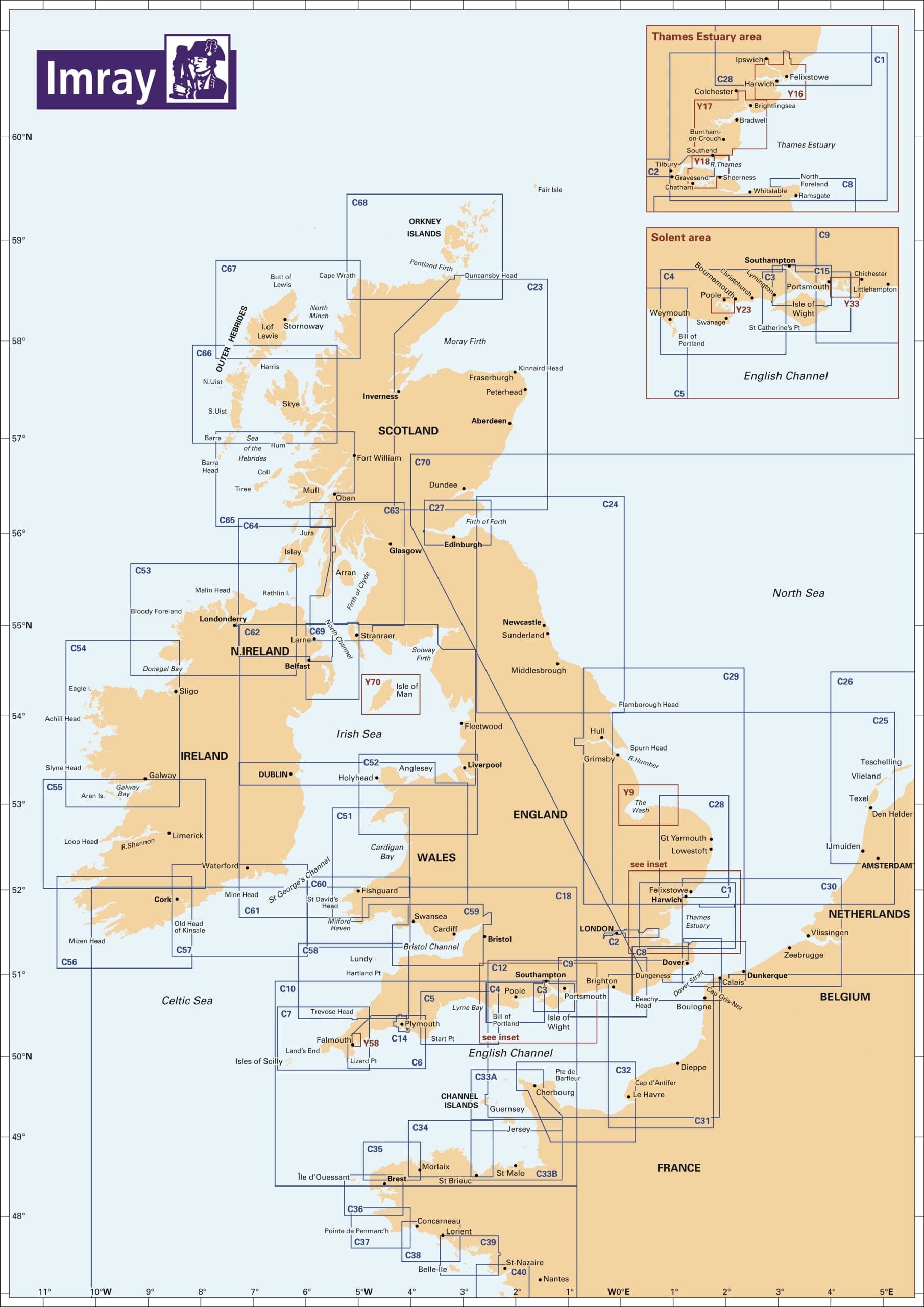
- Comprehensive Coverage: This chart covers the Thames Estuary, extending from London to the North Sea, including detailed depictions of the River Thames and surrounding waters.
- High Detail: Features critical navigational information such as depth contours, tidal streams, buoyage, and anchorage points.
- Up-to-Date Information: Regularly updated to include the latest navigational data, ensuring you have the most current information available.
- Clear and Easy-to-Read: Designed for ease of use with clear symbols and straightforward layout, making navigation simpler and safer.
Why Choose Imray Chart C1?
- Trusted Accuracy: Imray charts are trusted by professional and recreational mariners worldwide for their reliability and precision.
- Essential for Safe Navigation: Whether you’re navigating commercial routes or exploring recreational waters, the detailed information provided helps ensure safe passage.
- Durable and Waterproof: Printed on high-quality, waterproof paper, this chart is built to withstand the challenging marine environment.
Ideal For:
- Commercial Mariners: Navigate busy shipping lanes and commercial routes with accurate, up-to-date information.
- Recreational Boaters: Explore the Thames Estuary with confidence, knowing you have reliable data at your fingertips.
PRODUCT INFORMATION
- Stock code: ICC1-8
- Author: Imray C Series
- Publication details: 787 x 1118mm folded to A4, Water-resistant paper chart in plastic wallet or flat on request
- Edition date: 2024
- Printed and updated to: January 2024
- ISBN: 9781786795588
Reviews
There are no reviews yet.