Description
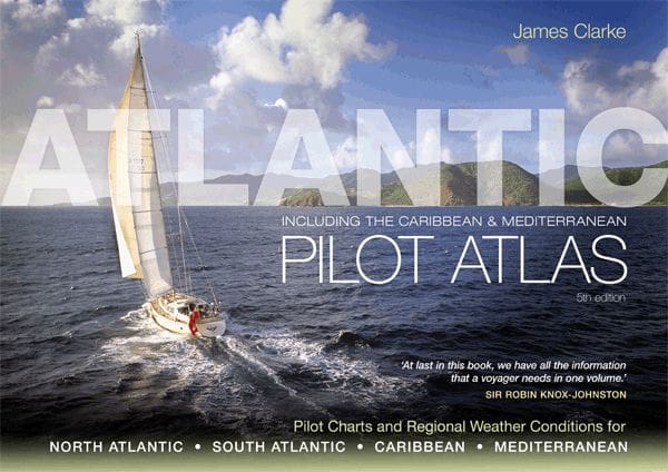
The Atlantic Pilot Atlas by James Clarke is the relaxed but expert navigator’s companion to weather routing and ocean planning. In its 5th edition (2011), this spiral-bound paperback spans approximately 80 large-format pages packed with 40 specially drawn full-colour pilot charts covering the North and South Atlantic, Mediterranean, and Caribbean
Written by Ocean Yachtmaster instructor James Clarke, this atlas presents detailed monthly charts of wind patterns, currents, gale occurrence, sea state, hurricane and storm tracks, and recommended sailing routes—offering invaluable insight for crossing sailors. Clarke’s calm and conversational style assures accuracy without jargon—ideal for UK sailors aged 35–60 preparing Atlantic passages.
What you’ll get:
-
40 full-colour pilot charts, clearly annotated
-
Monthly breakdowns of wind strength, current, sea state, and cyclone frequency
-
Route planning advice highlighted for popular Atlantic crossings
-
Notes on hurricane avoidance, effect of climate change, and forecasting pointers
-
Large spiral-bound format (approx. 419×295 mm) that lies open flat on a chart table.
Testimonials
“This is what every yachtsman contemplating an extended cruise needs in one book… No serious offshore bookshelf should be without one.” — Yachting Monthly
“Without doubt the most useful guide for anyone planning a Transatlantic voyage.” — Ships & Ports
James Clarke has distilled decades of ocean voyaging into a single, sharp-weather-planning atlas. While some guides offer forecast snippets, this atlas delivers structured, month-by-month visuals and commentary—especially useful for those charting courses from the UK to Azores, Caribbean or Mediterranean.
Its large charts make it ideal for stowage in a nav cabin or chart-table reading in safety zones. Though the edition date is 2011, the pilot charts remain a benchmark in ocean route planning – especially for sailboats relying on wind and current patterns rather than electronic routing alone.
PRODUCT DETAILS
Part Number: PIL0255
Edition: 2011
ISBN: 9781408122471
Publisher: Bloomsbury
Author: James Clarke
Format: Spiralbound