Admiralty Charts
Navigate with Confidence Using Admiralty Charts
Welcome to our collection of Admiralty Charts – the preferred choice for mariners seeking reliable and precise navigational information. Admiralty Charts have been trusted by the global maritime community for over 200 years, offering unparalleled detail and accuracy. Explore our comprehensive range of charts designed to support safe and efficient navigation on the world’s seas and oceans.
Why Choose Admiralty Charts?
Exceptional Accuracy
Admiralty Charts are renowned for their high level of accuracy. Each chart is regularly updated to reflect the latest navigational data, ensuring you have the most reliable information available.
Global Coverage
From busy shipping lanes to remote coastal waters, Admiralty Charts cover all major sea routes and maritime regions worldwide, providing comprehensive guidance for mariners everywhere.
Clear and Detailed
Designed with the user in mind, Admiralty Charts feature clear, detailed layouts that make it easy to interpret critical navigational information at a glance.
Our Admiralty Charts Collection
Admiralty Standard Nautical Charts (SNCs)
Explore our Standard Nautical Charts, perfect for general navigation. These charts provide detailed information on sea routes, ports, and coastal features.
Admiralty Thematic Charts
The Thematic Charts offer specialized information such as tidal streams, ocean currents, and meteorological data, ideal for planning and executing complex voyages.
Admiralty Digital Charts
For those using digital navigation systems, our Digital Charts offer the same reliable information in a convenient electronic format, compatible with major navigation software.
Featured Admiralty Charts
Admiralty Chart 5011 – Symbols and Abbreviations Used on Admiralty Charts
An essential reference for all mariners, Admiralty Chart 5011 provides detailed explanations of the symbols and abbreviations used across Admiralty charts.
Admiralty Chart 1548 – The Solent and Approaches
Navigate one of the UK’s busiest maritime areas with Admiralty Chart 1548, offering detailed information on the Solent and its approaches, including depths, tidal streams, and navigational aids.
Benefits of Using Admiralty Charts
Regular Updates: Ensuring you have access to the latest navigational information for safe and efficient passage.
Durable and High-Quality: Printed on durable materials to withstand the harsh marine environment.
Trusted Worldwide: Preferred by commercial and recreational mariners for their reliability and accuracy.
Testimonials
Captain David M.
“Admiralty Charts are my go-to for all my voyages. Their accuracy and detail are unmatched, providing peace of mind on the water.”
Maria L., Sailing Enthusiast
“I always rely on Admiralty Charts for planning my sailing trips. They are easy to read and always up-to-date.”
Frequently Asked Questions
How often are Admiralty Charts updated?
Admiralty Charts are updated frequently to incorporate the latest navigational data, ensuring the information is current and accurate.
Can Admiralty Charts be used with electronic navigation systems?
Yes, Admiralty offers digital versions of their charts that are compatible with most electronic navigation systems.
Where can I purchase Admiralty Charts?
You can purchase Admiralty Charts directly from our website. Browse our extensive collection and find the charts you need for your next maritime adventure.
Order Your Admiralty Charts Today!
Ensure safe and reliable navigation with our comprehensive range of Admiralty Charts. Browse our collection and order your charts today to prepare for your next journey at sea.
Product Catalogue
-
Sale!
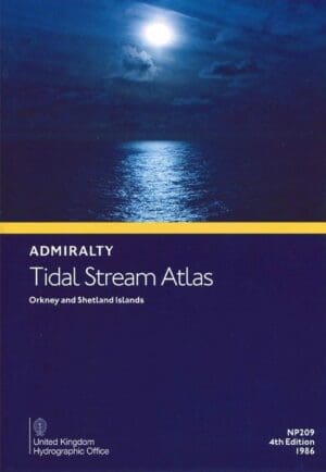
Admiralty Tidal Stream Atlas NP209 – Orkney and Shetland Islands
£22.90Original price was: £22.90.£20.49Current price is: £20.49. Add to basket -
Sale!

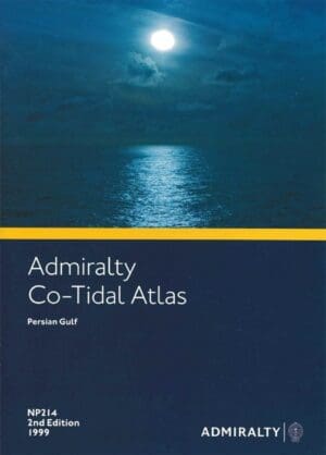
Admiralty Tidal Stream Atlas NP214 – Persian Gulf
£22.90Original price was: £22.90.£20.49Current price is: £20.49. Add to basket -
Sale!

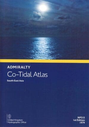
Admiralty Tidal Stream Atlas NP215 – South East Asia
£22.90Original price was: £22.90.£20.49Current price is: £20.49. Add to basket -
Sale!

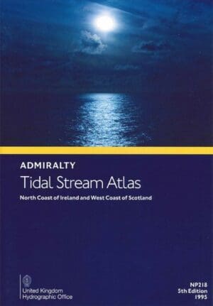
Admiralty Tidal Stream Atlas NP218 – North Coast of Ireland and West Coast of Scotland
£22.90Original price was: £22.90.£20.49Current price is: £20.49. Add to basket -
Sale!

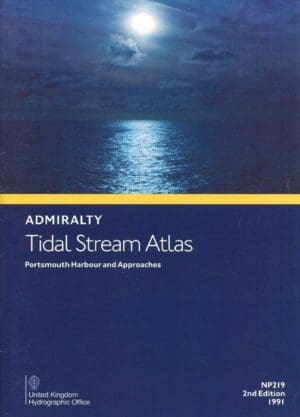
Admiralty Tidal Stream Atlas NP219 – Portsmouth Harbour and Approaches
£22.90Original price was: £22.90.£20.49Current price is: £20.49. Add to basket -
Sale!

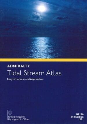
Admiralty Tidal Stream Atlas NP220 – Rosyth Harbour & Approaches
£22.90Original price was: £22.90.£20.49Current price is: £20.49. Add to basket -
Sale!

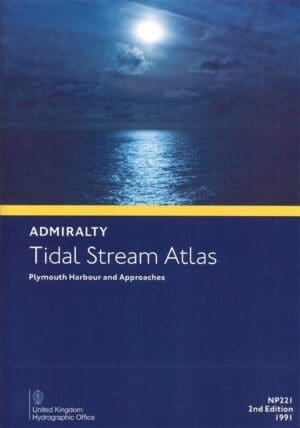
Admiralty Tidal Stream Atlas NP221 – Plymouth Harbour and Approaches
£22.90Original price was: £22.90.£20.49Current price is: £20.49. Add to basket -
Sale!

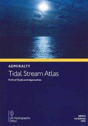
Admiralty Tidal Stream Atlas NP222 – Firth of Clyde and Approaches
£22.90Original price was: £22.90.£20.49Current price is: £20.49. Add to basket -
Sale!

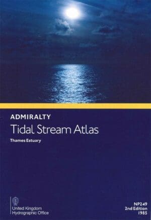
Admiralty Tidal Stream Atlas NP249 -Thames Estuary
£22.90Original price was: £22.90.£20.49Current price is: £20.49. Add to basket -
Sale!

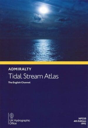
Admiralty Tidal Stream Atlas NP250 – The English Channel
£22.90Original price was: £22.90.£20.49Current price is: £20.49. Add to basket -
Sale!

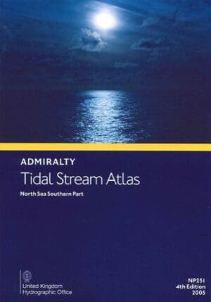
Admiralty Tidal Stream Atlas NP251 – North Sea, Southern Part
£22.90Original price was: £22.90.£20.49Current price is: £20.49. Add to basket -
Sale!

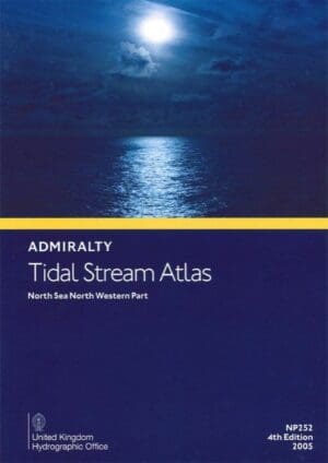
Admiralty Tidal Stream Atlas NP252 – North Sea, North Western Part
£22.90Original price was: £22.90.£20.49Current price is: £20.49. Add to basket -
Sale!

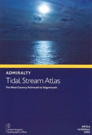
Admiralty Tidal Stream Atlas NP254 – The West Country, Falmouth to Teignmouth
£22.90Original price was: £22.90.£20.49Current price is: £20.49. Add to basket -
Sale!

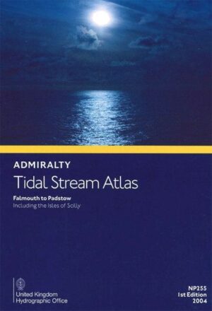
Admiralty Tidal Stream Atlas NP255 – Falmouth to Padstow incl Isles of Scilly
£22.90Original price was: £22.90.£20.95Current price is: £20.95. Add to basket -
Sale!

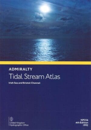
Admiralty Tidal Stream Atlas NP256 – Irish Sea and Bristol Channel
£22.90Original price was: £22.90.£20.49Current price is: £20.49. Add to basket -
Sale!

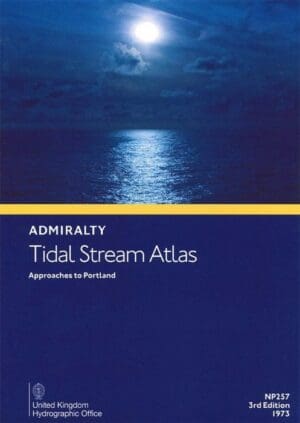
Admiralty Tidal Stream Atlas NP257 – Approaches to Portland
£22.90Original price was: £22.90.£20.49Current price is: £20.49. Add to basket -
Sale!

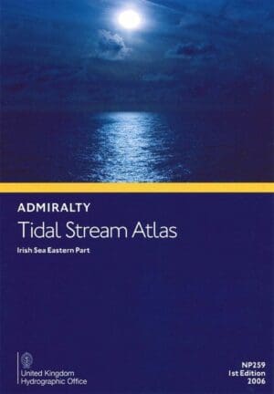
Admiralty Tidal Stream Atlas NP259 – Irish Sea, Eastern Part
£22.90Original price was: £22.90.£20.49Current price is: £20.49. Add to basket -
Sale!

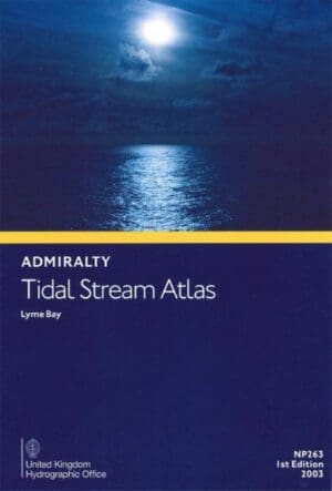
Admiralty Tidal Stream Atlas NP263 – Lyme Bay
£22.90Original price was: £22.90.£20.49Current price is: £20.49. Add to basket -
Sale!

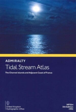
Admiralty Tidal Stream Atlas NP264 – The Channel Islands and Adjacent Coast of France
£22.90Original price was: £22.90.£20.49Current price is: £20.49. Add to basket -
Sale!

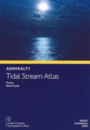
Admiralty Tidal Stream Atlas NP265 – France, West Coast
£22.90Original price was: £22.90.£20.49Current price is: £20.49. Add to basket -
Sale!

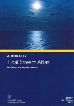
Admiralty Tidal Stream Atlas NP337 – The Solent and Adjacent Waters
£22.90Original price was: £22.90.£20.49Current price is: £20.49. Add to basket

