Description
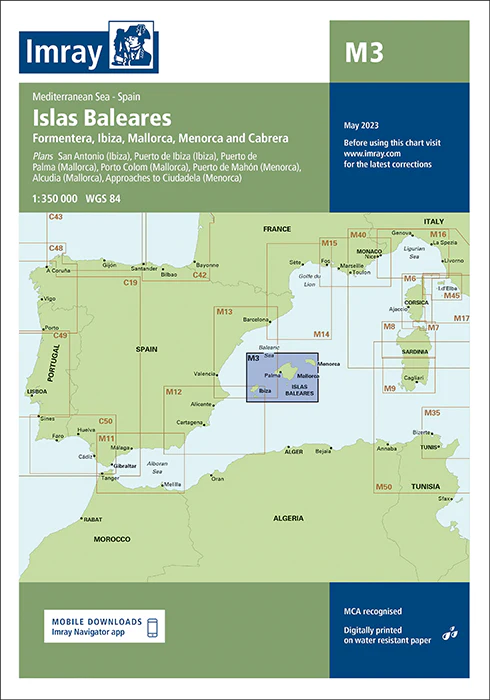
Imray Chart M3 Islas Baleares – Your Essential Guide to the Balearic Islands
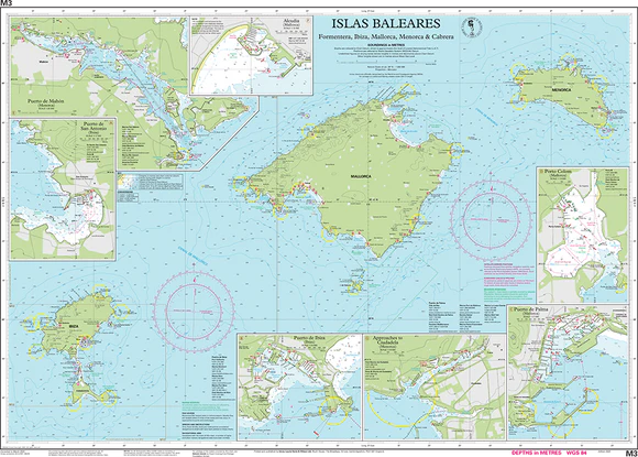
Set sail with confidence in the stunning Balearic Islands using the Imray Chart M3 Islas Baleares. This comprehensive navigational chart is an indispensable tool for sailors, yachters, and cruisers exploring the popular islands of Mallorca, Menorca, Ibiza, and Formentera. Renowned for its accuracy and detail, this Imray chart ensures you have the critical information needed for safe and enjoyable navigation through these Mediterranean waters.
Key Features:
- Complete Island Coverage: Detailed mapping of the Balearic Islands, including the coastlines, anchorages, and key ports of Mallorca, Menorca, Ibiza, and Formentera.
- Precise Navigational Information: Features accurate soundings, tidal data, and navigational hazards, providing all the information you need for safe passage around the islands.
- Expert Cartography: Imray’s trusted cartography offers clear and reliable charting, making it easy to plan your routes and navigate with confidence.
- Durable & Waterproof: Printed on high-quality, water-resistant paper, this chart is designed to endure the marine environment, ensuring long-lasting use.
- Regular Updates: Reflects the most recent navigational updates, giving you the latest and most reliable data for your maritime adventures.
Why Choose Imray Chart M3?
- Renowned Accuracy: Imray charts are globally recognized for their precision, making them the preferred choice for mariners who demand the best.
- Enhanced Safety: Provides essential information to help you avoid hazards, find safe anchorages, and navigate with ease, ensuring a safer sailing experience.
- Perfect for Planning: Ideal for planning coastal excursions or extended cruises, this chart offers detailed guidance for successful and enjoyable navigation in the Balearic Islands.
- User-Friendly Design: The clear and organized layout ensures ease of use, allowing you to navigate confidently even in challenging conditions.
Ideal For:
- Sailors & Yachters: A must-have for anyone navigating the Mediterranean, offering comprehensive details on the Balearic Islands’ coastlines and ports.
- Mediterranean Cruisers: Perfect for exploring the popular and picturesque Balearic Islands, providing all the necessary data for a safe and enjoyable journey.
- Island Hoppers: Ideal for those renting boats or planning island-hopping trips, ensuring reliable and up-to-date navigational information.
Navigate the beautiful Balearic Islands with precision and confidence using the Imray Chart M3 Islas Baleares. Order now to ensure your sailing adventure is supported by the most accurate and detailed chart available for these iconic Mediterranean islands.
Plans included:
PRODUCT INFORMATION
- Stock code: ICM3-4
- Author: Imray M Series
- Publication details: 640 x 900mm folded to A4, Water-resistant paper chart in plastic wallet or flat on request
- Edition date: 2023
- Printed and updated to: March 2023
- ISBN: 9781786794345


Reviews
There are no reviews yet.