Description
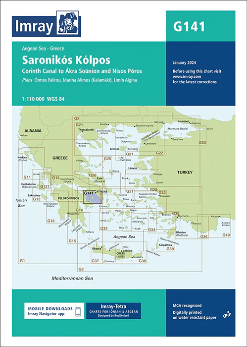
Imray Chart G141: Saronikós Kólpos
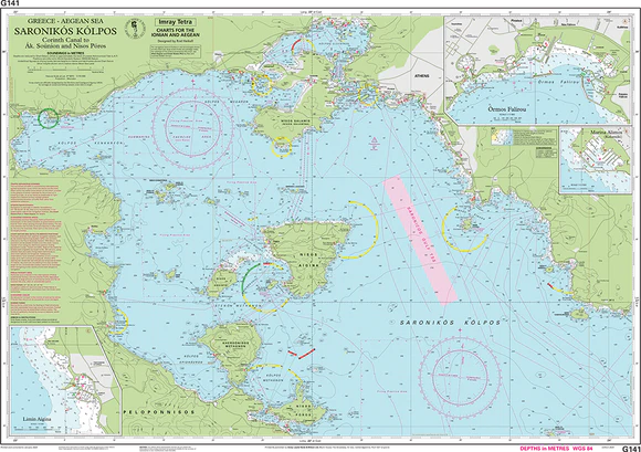
Discover the stunning Saronic Gulf with confidence using the Imray Chart G141: Saronikós Kólpos. This highly detailed nautical chart provides comprehensive coverage of the Saronic Gulf (Saronikós Kólpos) and its surrounding areas, a favorite destination for sailors exploring the Greek coastline. Known for its accuracy and dependability, the Imray G141 chart is an essential tool for safe and informed navigation in these bustling yet picturesque waters.
Printed on durable, water-resistant paper, the Imray Chart G141 is designed to endure the challenges of the marine environment. It includes up-to-date information on coastal features, harbors, anchorages, water depths, and navigational hazards, ensuring you have the most reliable data for your journey. Whether you are planning a leisurely sail between the islands or navigating the busy waters near Athens, this chart offers all the details you need to navigate with ease.
Key Features:
- Comprehensive coverage of the Saronic Gulf (Saronikós Kólpos) and surrounding areas.
- Detailed information on harbors, anchorages, coastal features, and navigational hazards.
- Printed on high-quality, water-resistant paper suitable for marine conditions.
- Regularly updated with the latest navigational data for safe passage planning.
- Ideal for professional mariners, charter operators, and leisure sailors exploring the Greek islands.
Equip yourself with the Imray Chart G141: Saronikós Kólpos for accurate and reliable navigation in the beautiful Saronic Gulf. Whether you are a seasoned sailor or new to these waters, this chart is your essential guide to exploring one of Greece’s most popular sailing regions.
Plans included:
PRODUCT INFORMATION
- Stock code: ICG141-3
- Author: Imray G Series
- Publication details: 640 x 900mm folded to A4, Water-resistant paper chart in plastic wallet or flat on request
- Edition date: 2024
- Printed and updated to: January 2024
- ISBN: 9781786795496

Reviews
There are no reviews yet.